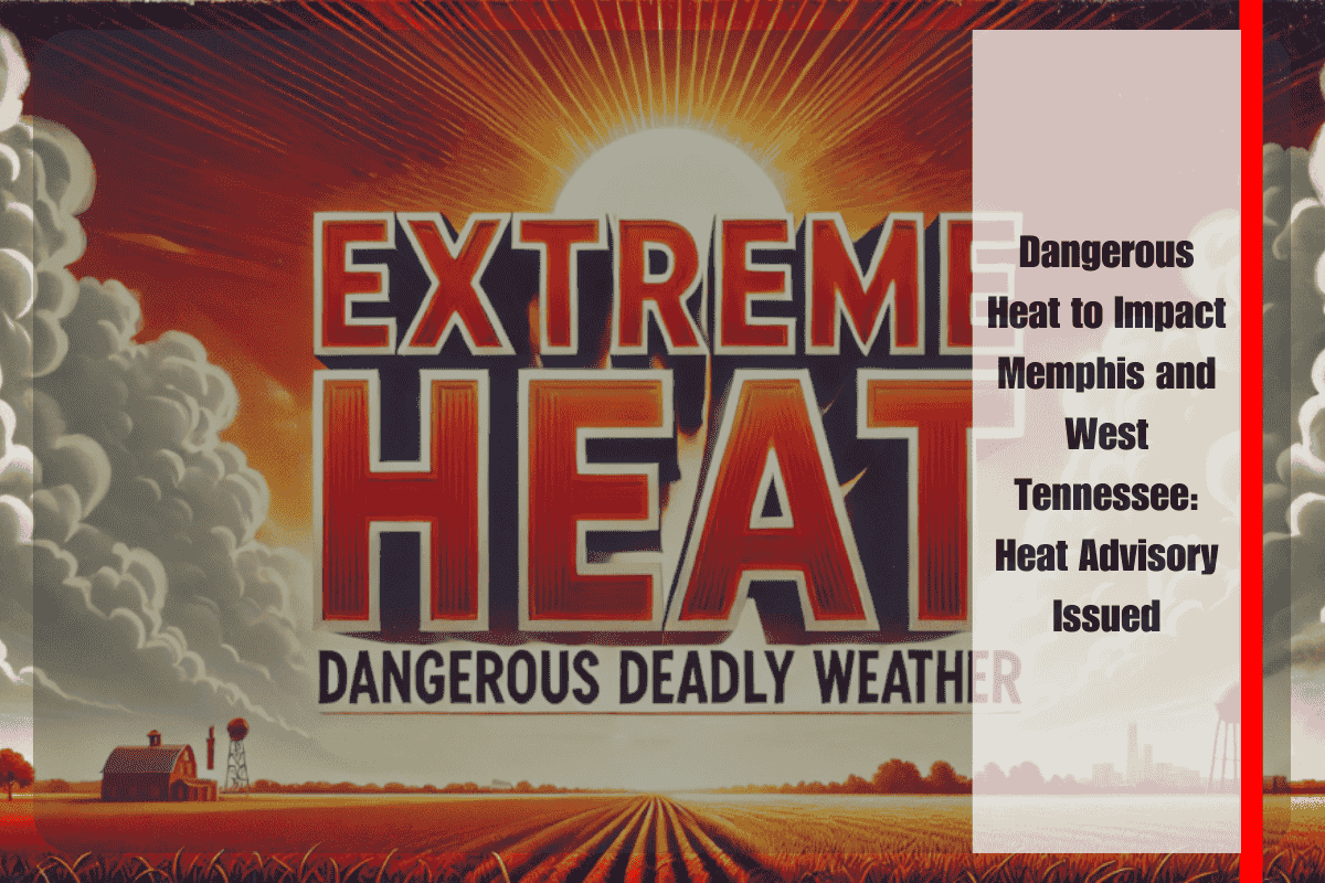
Memphis, Tennessee – Triple-digit heat will push deeper into West Tennessee on Thursday, August 14, as Memphis and surrounding areas face dangerously high temperatures, with heat-related illnesses becoming a serious concern. The National Weather Service (NWS) in Memphis has issued a Heat Advisory for Thursday from 11 a.m. to 7 p.m., with heat index values expected to reach 105°F or higher. Cities under the advisory include Memphis, Clarksdale, and parts of northern Mississippi.
The extreme heat will continue throughout the weekend, with Saturday projected to bring the highest heat index values—up to 109°F in Clarksdale and 107°F in Memphis. This marks one of the most intense stretches of summer heat so far this year for the Mid-South, prompting officials to issue urgent safety advice for residents.
For those working outdoors or traveling along Interstate 55, the NWS advises limited exposure to the elements, staying hydrated, and taking frequent breaks to cool down. The peak heat will occur between 1 p.m. and 6 p.m., when the risk of heat stroke is at its highest.
Residents are encouraged to check on vulnerable neighbors, never leave pets or children in vehicles, and avoid strenuous outdoor activities during peak heat hours. Wearing loose, light-colored clothing and having access to air conditioning is strongly recommended to help manage the heat stress.
The forecast for Memphis includes a high of 94°F on Thursday, followed by 95°F on Friday and 98°F on Sunday. Heat indices will consistently exceed 100°F during the day, with slight chances of isolated thunderstorms on Friday and Saturday afternoons. However, no widespread relief is expected, and the oppressive heat is likely to continue through the weekend.
5-Day Forecast for Memphis (Aug 13–17):
- Wednesday: High 94°F, partly sunny, heat index up to 105°F, 30% chance of afternoon storms
- Thursday: High 94°F, mostly sunny, heat index up to 105°F, Heat Advisory 11 a.m.–7 p.m.
- Friday: High 95°F, sunny, 20% chance of storms after 1 p.m., heat index near 107°F
- Saturday: High 97°F, isolated storms possible after 1 p.m., hottest day — feels like 107°F
- Sunday: High 98°F, sunny and dry, excessive heat persists


