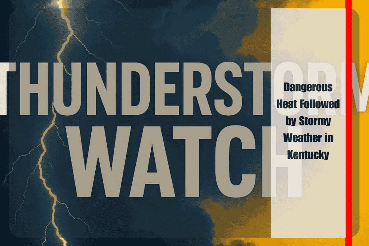
Louisville and much of central Kentucky are bracing for a dramatic weather shift this week, as dangerous heat gives way to scattered thunderstorms. According to the National Weather Service in Louisville, temperatures could surge into the upper 90s on Tuesday before a cold front sparks a round of storm activity that will extend into Wednesday.
Heat Peaks Before Storms Arrive
Central Kentucky communities, including Louisville, Elizabethtown, and Bowling Green, will endure hot and humid conditions through Tuesday afternoon. Heat indices are expected to climb even higher, making outdoor activities risky and increasing the chances of heat-related illnesses. Officials urge residents to limit strenuous activities, stay hydrated, and check on vulnerable neighbors during the hottest part of the day.
Storm Threat Tuesday Evening Into Wednesday
As the cold front approaches, isolated strong storms could develop late Tuesday, bringing bursts of heavy rainfall, gusty winds, and frequent lightning. The National Weather Service highlights the I-65 corridor as the most likely zone for widespread storm activity, particularly Tuesday night into early Wednesday morning.
The timing of the storms may create significant travel disruptions, especially during the Tuesday evening commute. Flash flooding is a concern in urban areas and along low-lying roads if downpours occur. Stronger storms could also trigger localized power outages due to downed trees and lines.
Safety Precautions and Preparations
Residents are advised to secure loose outdoor items, such as patio furniture or trash bins, ahead of the storms. Monitoring weather alerts will be crucial, as conditions could deteriorate quickly once storms develop. Officials also stress the importance of never driving through flooded roadways, as even shallow water can sweep away vehicles.
Cooler, Calmer Weather by Thursday
Relief is on the horizon after the turbulent start to the week. By Thursday, drier air will filter into Kentucky, ushering in cooler temperatures with highs settling in the mid-80s. Mostly sunny skies will dominate through the end of the week, offering a welcome break from both extreme heat and stormy conditions.
This pattern shift provides residents with an opportunity to recover from the oppressive heat and to prepare for more stable weather heading into the weekend.
Kentuckians should remain vigilant in the short term, however, as Tuesday and Wednesday will bring the greatest risks for severe storms and disruptive weather. Afterward, calmer conditions will allow for a much-needed respite from the intensity of summer extremes.


