Wichita, Kan. – Central and south-central Kansas are enduring dangerous heat today, with heat indices climbing to between 100°F and 105°F, raising concerns for outdoor workers, athletes, and those without air conditioning. Afternoon highs will reach the mid to upper 90s, making it critical for residents to take precautions against heat-related illnesses.
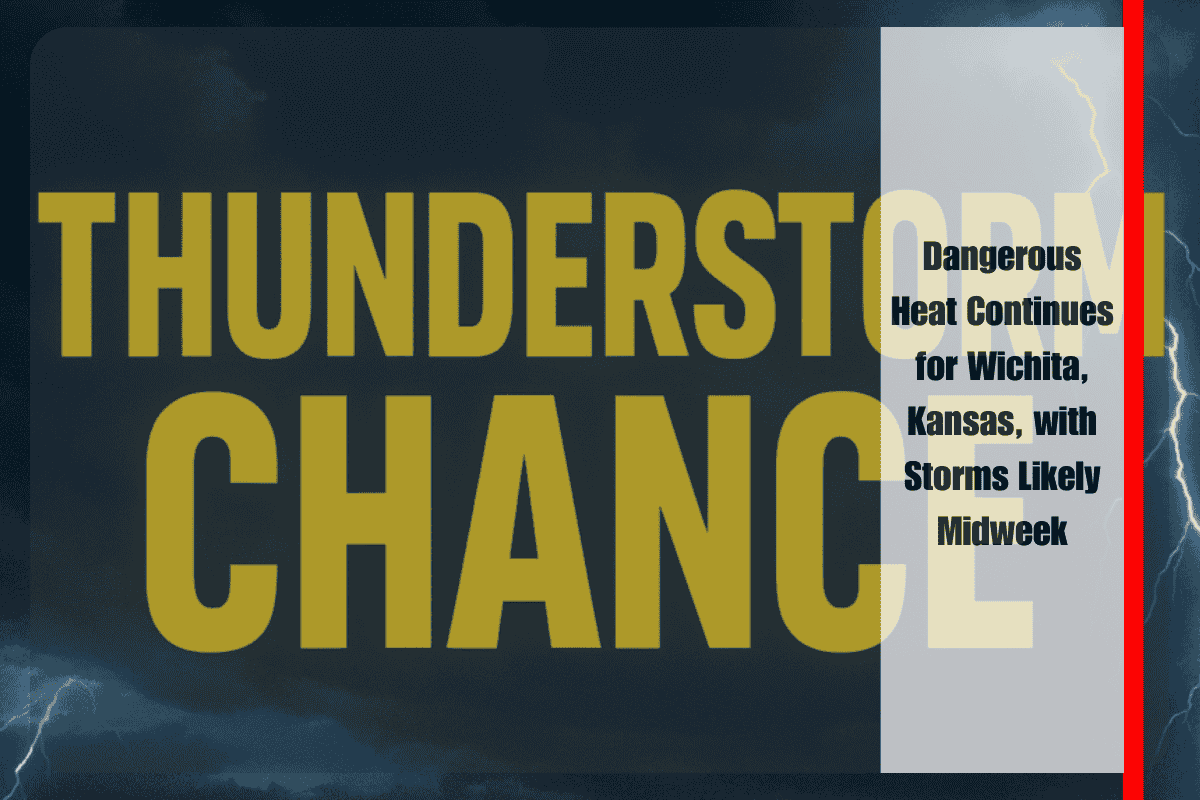
The National Weather Service in Wichita reports that a pattern shift will bring a 30% chance of scattered thunderstorms on Tuesday, with another round of storms possible on Wednesday, at 20%. While these storms are expected to be isolated, they could bring brief heavy downpours, lightning, and locally gusty winds. Drivers should be aware of sudden downpours that may reduce visibility, particularly on Tuesday evening.
Communities such as Hutchinson, El Dorado, and Winfield will experience highs near 97°F through Monday before temperatures begin to cool to the upper 80s by midweek. Emergency managers are urging residents to limit strenuous outdoor activity today and stay hydrated to prevent heat-related illnesses.
By Wednesday, the forecast calls for a high near 90°F, bringing a return to more typical August conditions with drier, more comfortable air. These cooler, more seasonable temperatures are expected to last into Thursday.
Five-Day Forecast for Wichita, Kansas:
- Sunday: Highs 94°F–97°F, heat index 100°F–105°F, mostly sunny
- Monday: Highs 94°F–99°F, hot and partly cloudy
- Tuesday: Highs 94°F–97°F, 30% chance of scattered thunderstorms
- Wednesday: Highs 88°F–91°F, isolated storms, more seasonable
- Thursday: Highs 86°F–91°F, mostly sunny and dry


