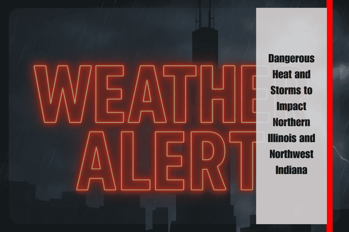
Chicago, Ill. – Northern Illinois and northwest Indiana are bracing for an active stretch of weather through Tuesday, with dangerous heat and multiple rounds of thunderstorms. Afternoon heat indices are expected to reach between 100°F and 105°F each day, and in some areas south of I-80, the heat index could climb closer to 110°F.
The National Weather Service in Chicago has issued warnings about the potential for clusters of storms, with the strongest activity expected Saturday afternoon and evening. These storms could bring torrential rainfall, damaging winds that could down trees, and frequent lightning. The risk of flooding will be elevated in areas that experience repeated storm activity.
Major cities like Chicago, Rockford, Joliet, and Gary are likely to face travel delays due to heavy rain and ponding on roads. While areas along the Lake Michigan shore will experience slightly cooler air, providing some relief from the heat, inland communities should limit outdoor activities during the hottest parts of the day.
Residents are strongly encouraged to stay hydrated, check on vulnerable neighbors, and ensure they have multiple ways to receive weather warnings. The heat and storms are expected to persist, with storm chances tapering slightly on Sunday before ramping up again on Monday. Another round of hot, humid air and thunderstorms is anticipated for the start of the week, with conditions easing by midweek. However, additional alerts may be issued if storm tracks shift.
Five Day Forecast for Chicago, Ill.
- Tonight: Lows 70–75°F, 40% chance of thunderstorms.
- Saturday: Highs 88–94°F, heat index up to 105°F, scattered storms, 30–40% chance.
- Sunday: Highs 86–94°F, 20–30% chance of storms, cooler near the lake.
- Monday: Highs 89–95°F, 40–50% chance of storms.
- Tuesday: Highs 84–91°F, 30% chance of storms.


