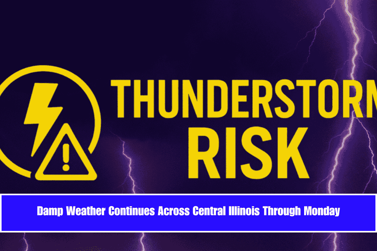
A soggy stretch of weather is expected to continue across central Illinois, with scattered thunderstorms, patchy dense fog, and breezy conditions lingering through Monday. Highs will stay in the upper 70s to low 80s.
Weather Conditions Across Central Illinois
According to the National Weather Service in Lincoln, scattered showers and thunderstorms are likely to occur today, particularly south of I-72, where the chances for storms are as high as 70%. Early Saturday morning, dense fog may reduce visibility, especially in low-lying areas, making driving conditions hazardous. Winds will remain light out of the north at 5 to 10 mph.
Storms Taper Off Over the Weekend
By Sunday, storm chances will decrease slightly but remain between 30% and 50%, especially in western and central Illinois. Winds will shift from the north to the west and increase to 15–20 mph, making the damp conditions feel breezy and chilly.
Monday Brings Some Relief
On Monday, the chances for scattered showers will drop to around 15–30%, bringing a bit of relief. However, breezy west winds up to 20 mph could still make outdoor activities challenging, especially in areas with lingering rain.
Safety and Precautions
Residents are advised to drive carefully in fog-prone areas and avoid traveling on flooded roads when heavy rain occurs. While storm risks will decrease by Monday night, there’s still a chance of scattered rainfall returning later in the week.


