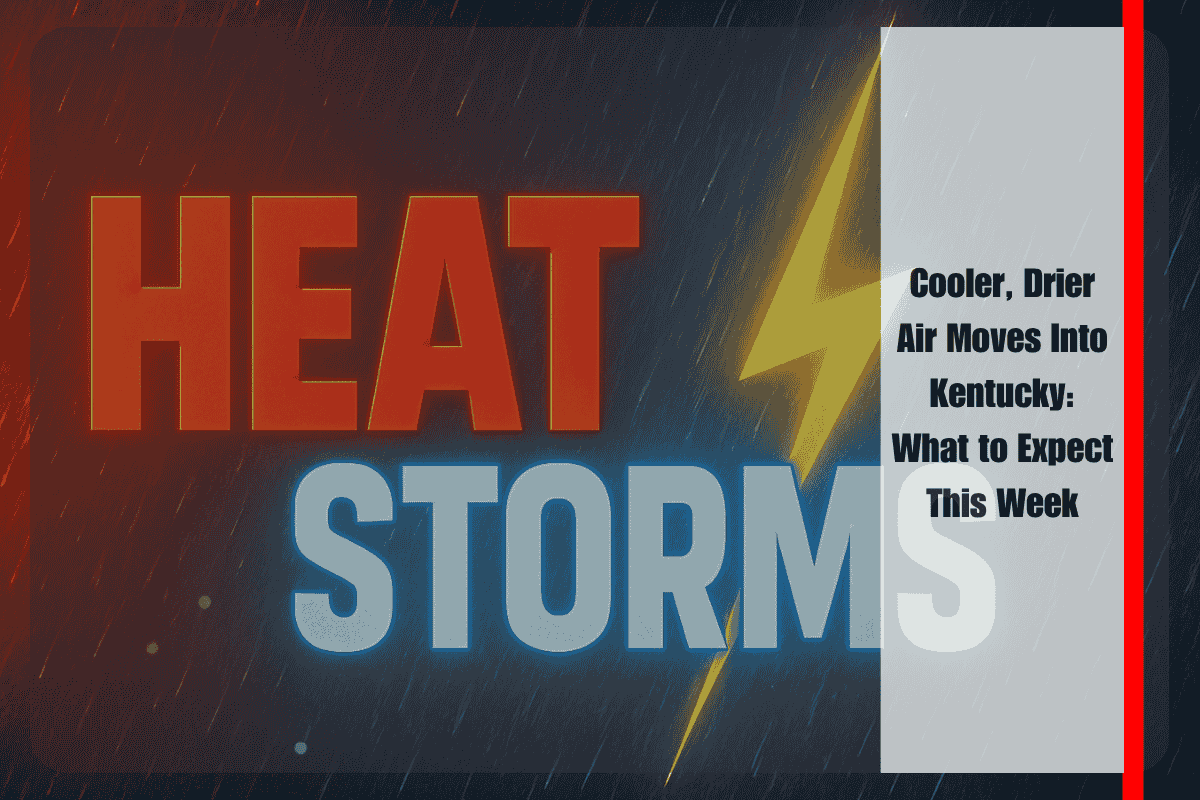
Paducah, Kentucky – Western Kentucky will see scattered thunderstorms on Thursday as cooler, drier air begins to roll in, bringing a welcome break from the oppressive heat and humidity. By Friday, temperatures will drop, making for a more comfortable weekend.
What to Expect on Thursday
According to the National Weather Service in Paducah, Thursday will serve as a transition day. Highs will range from 80°F to 93°F, with scattered thunderstorms expected across the region. Although the humidity will decrease, there’s still enough moisture in the air to trigger afternoon and evening storms, especially in the Quad State area.
Weekend Weather Looks Pleasant
By Friday, the weather will begin to feel more comfortable, with highs in the upper 70s to mid-80s and much lower humidity. This will last into the weekend. While isolated storms may pop up in southern Kentucky on Friday and western Kentucky on Sunday, most areas will enjoy mostly sunny skies. Overnight lows will drop into the upper 50s to mid-60s, offering residents a break from the usual stifling heat.
Weekend Outlook for Specific Cities
Cities like Murray, Mayfield, and Owensboro can expect calm skies for the weekend. However, travelers along I-24 and I-69 should stay alert Thursday, as brief downpours and reduced visibility are possible.
Stay Informed
Residents with outdoor plans should keep an eye on local weather updates, particularly on Thursday and Sunday, when pop-up storms are likely.
5-Day Forecast Snapshot
- Thursday: Partly sunny with scattered storms. Highs 80–93°F, lows 64–72°F.
- Friday: Mostly sunny with isolated storms in the south. Highs 79–85°F, lows 59–65°F.
- Saturday: Mostly sunny. Highs 79–85°F, lows 58–65°F.
- Sunday: Mostly sunny with isolated storms in western KY. Highs 82–87°F, lows 60–66°F.
- Monday (outlook): Continued dry and sunny. Highs in the mid-80s.


