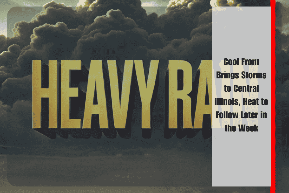
A cool front moving into Central Illinois today will bring scattered afternoon and evening storms, some of which may produce heavy rain and gusty winds. The National Weather Service warns that storms could disrupt evening commutes, especially along and south of I-70.
Rain chances are at 50% today, with temperatures ranging from 83 to 90 degrees. While Wednesday will be drier and slightly cooler, isolated storms could still develop south of I-70, with highs ranging from the low 80s in the north to the upper 80s in the south.
Thursday will remain mostly dry, but heat and humidity will surge by Friday and Saturday. Afternoon heat indices could climb to 95–100 degrees on Friday, and 100–105 degrees on Saturday, raising heat safety concerns for outdoor activities. Residents are advised to limit strenuous activity during peak afternoon heat and stay hydrated.
The National Weather Service suggests monitoring local alerts, as more advisories may be issued if storm activity intensifies today or if dangerous heat expands over the weekend.
Five-Day Forecast for Springfield, IL:
- Today: Scattered storms, heavy rain possible. High 83–90, Low 65–71
- Wednesday: Partly cloudy, 30% storm chance south of I-70. High 81–88, Low 61–69
- Thursday: Mostly sunny, dry. High 82–86, Low 63–69
- Friday: Partly cloudy, heat index 95–100. High 88–90, Low 70–73
- Saturday: Mostly sunny, heat index 100–105. High 91–94


