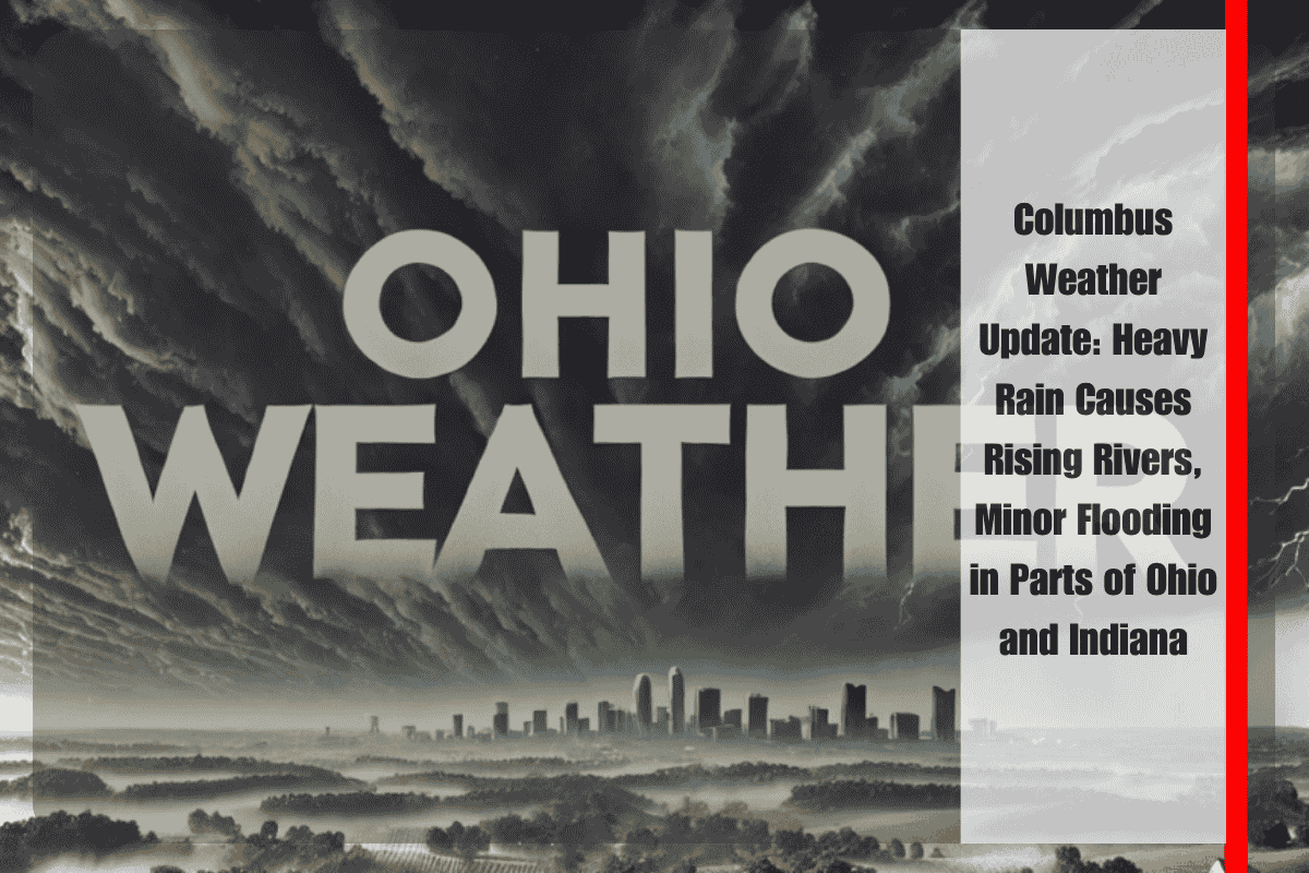
Columbus, OH – A round of significant rainfall swept through the Ohio Valley from late Wednesday into Thursday morning, causing several rivers across northern Ohio and central Indiana to reach near bankfull levels, with localized minor flooding reported in some areas. The National Weather Service Ohio River Forecast Center is closely monitoring river conditions but says that major flooding is not expected.
Between 2 and 3 inches of rain fell overnight across portions of the northwest Ohio Valley, including areas in northern Ohio and northern/central Indiana. The rainfall, which was widespread and intense at times, triggered a noticeable hydrologic response on area rivers. Several river gauges now show water levels close to or slightly above bankfull, which refers to the point where rivers begin to spill out into surrounding low-lying areas. While only minor flooding has been observed so far, officials caution that isolated impacts may continue Thursday as water slowly drains through local systems.
The overnight rain mainly impacted rivers that run through rural communities, low-lying farmland, and flood-prone areas. While urban flooding was limited, residents near rivers or creeks—especially those in flat or poorly-drained areas—should stay alert for any signs of rising water.
More showers and thunderstorms are possible throughout Thursday, according to the National Weather Service, which may contribute to short-term fluctuations in water levels. However, the overall threat of major flooding remains low as the heaviest rainfall has already moved through.
By the end of the week, a cooler and drier air mass is expected to arrive, which will bring relief from the rain and help river levels gradually recede. This shift in the weather pattern is likely to result in quieter hydrologic conditions across the region, allowing rivers to return to more typical levels heading into the weekend.
Officials stress that although widespread flooding is not expected, some isolated trouble spots could still arise, especially near small streams and rivers where the ground remains saturated. Residents in flood-prone areas are advised to keep monitoring local forecasts, listen to any weather alerts, and avoid walking or driving through flooded roads or fields.
Communities in northern Ohio and Indiana are also reminded to secure outdoor items, check sump pumps, and keep emergency supplies handy, especially in neighborhoods that have previously experienced flood-related issues.
Despite Thursday’s lingering showers, the overall forecast brings good news—once the rain moves out, conditions will improve and stay dry through the weekend, with no additional flood threats expected. This will offer a chance for cleanup in any areas that experienced standing water or creek overflow.


