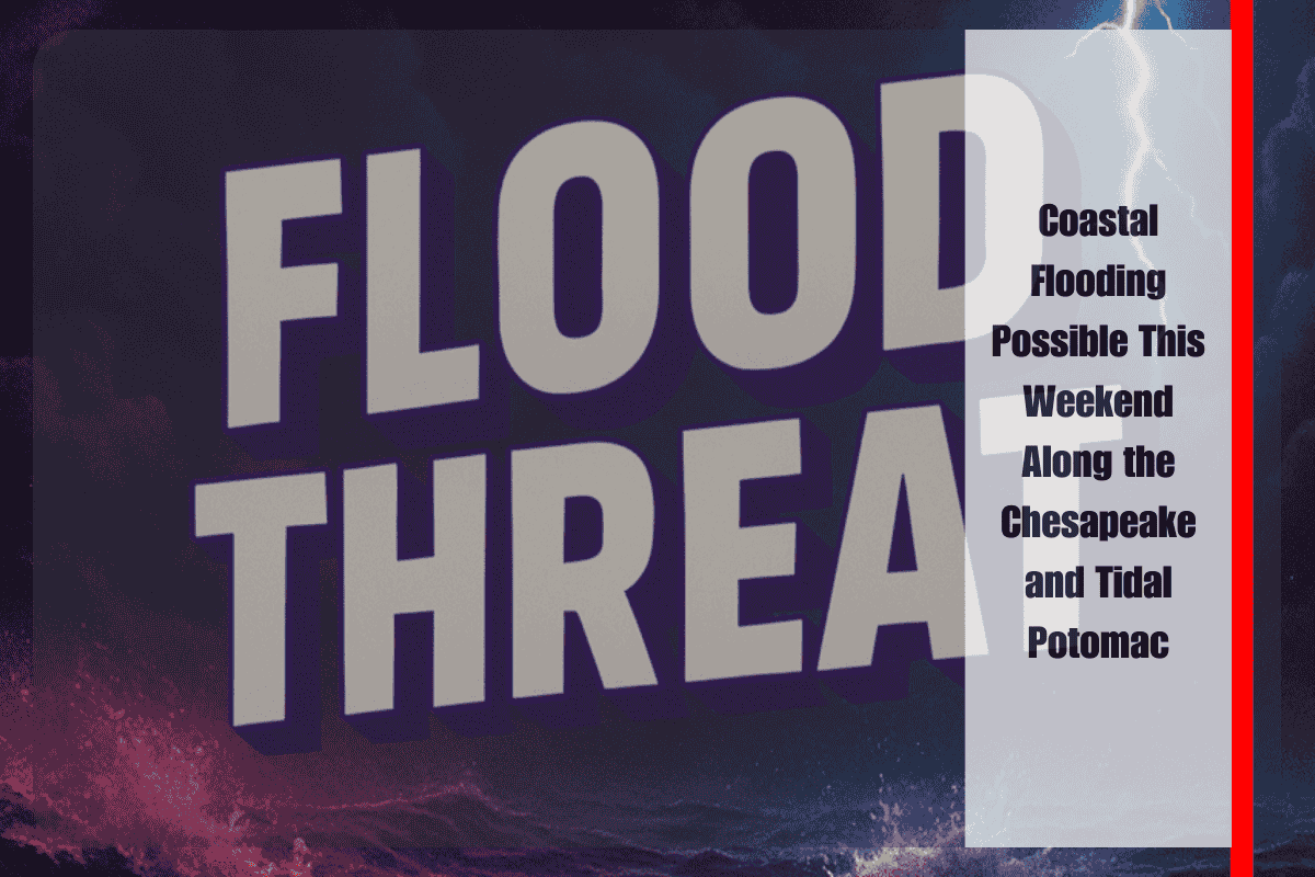
Baltimore, Md. — Communities bordering the Chesapeake Bay and the tidal Potomac River should prepare for minor to locally moderate coastal flooding through the weekend, with the most significant impacts expected during successive high-tide cycles. The National Weather Service (NWS) says persistent water level rises may push seawater onto low-lying roads, parking lots, and flood-prone properties, especially in neighborhoods with poor drainage.
Forecasters at the NWS Baltimore/Washington office note that repeated high tides will gradually funnel water inland, increasing the likelihood of nuisance to moderate flooding across Anne Arundel, Calvert, St. Mary’s, and Charles counties. Bay-front communities such as Annapolis and North Beach, as well as tidal Potomac locations including Alexandria and parts of Washington, D.C., could see water overflow docks, bulkheads, and riverwalks and seep into adjacent streets. In the most sensitive spots, brief closures of shoreline roads are possible around the peak of high tide.
Travel impacts will be most noticeable near marinas, waterfront parks, and causeways where even a few extra inches of water can cut off access. Officials urge drivers to never drive through flooded roadways; water depth and road integrity can be difficult to judge, and saltwater intrusion can quickly disable vehicles. Motorists who routinely park along the waterfront are advised to move vehicles to higher ground in advance of high tide and plan for detours where barricades or law enforcement restrict access.
Residents in known flood zones should take practical steps now. Secure loose outdoor items, relocate valuables from basements or ground floors, and keep emergency kits stocked with medications, flashlights, batteries, drinking water, and essential documents. If flooding threatens, shelter indoors on higher levels and avoid contact with standing water, which may conceal hazards or be contaminated. Mariners should check mooring lines, ensure bilge pumps are operational, and use extra fenders to prevent damage during elevated water levels and chop.
While the current outlook favors minor to moderate inundation tied to the tide cycles, conditions could worsen if onshore winds strengthen or if pressure patterns enhance water piling into the Bay and lower Potomac. The NWS has coastal flood advisories in effect through the weekend and may upgrade or extend alerts if forecasts trend higher. Local jurisdictions may also issue targeted warnings or road closures where flooding recurs with each tide.
For the best situational awareness, residents should monitor official updates from the NWS and local emergency management, consult tide tables for the nearest gauge, and enable Wireless Emergency Alerts on mobile devices. Simple choices—moving a car a few blocks inland, timing errands away from peak tides, and heeding barriers—can significantly reduce risk.
As the weekend unfolds, expect the highest impacts within a few hours of each high tide, gradual improvement between cycles, and a return to typical water levels once winds ease and the tidal pattern relents. Until then, plan ahead, stay informed, and give the shoreline extra space.


