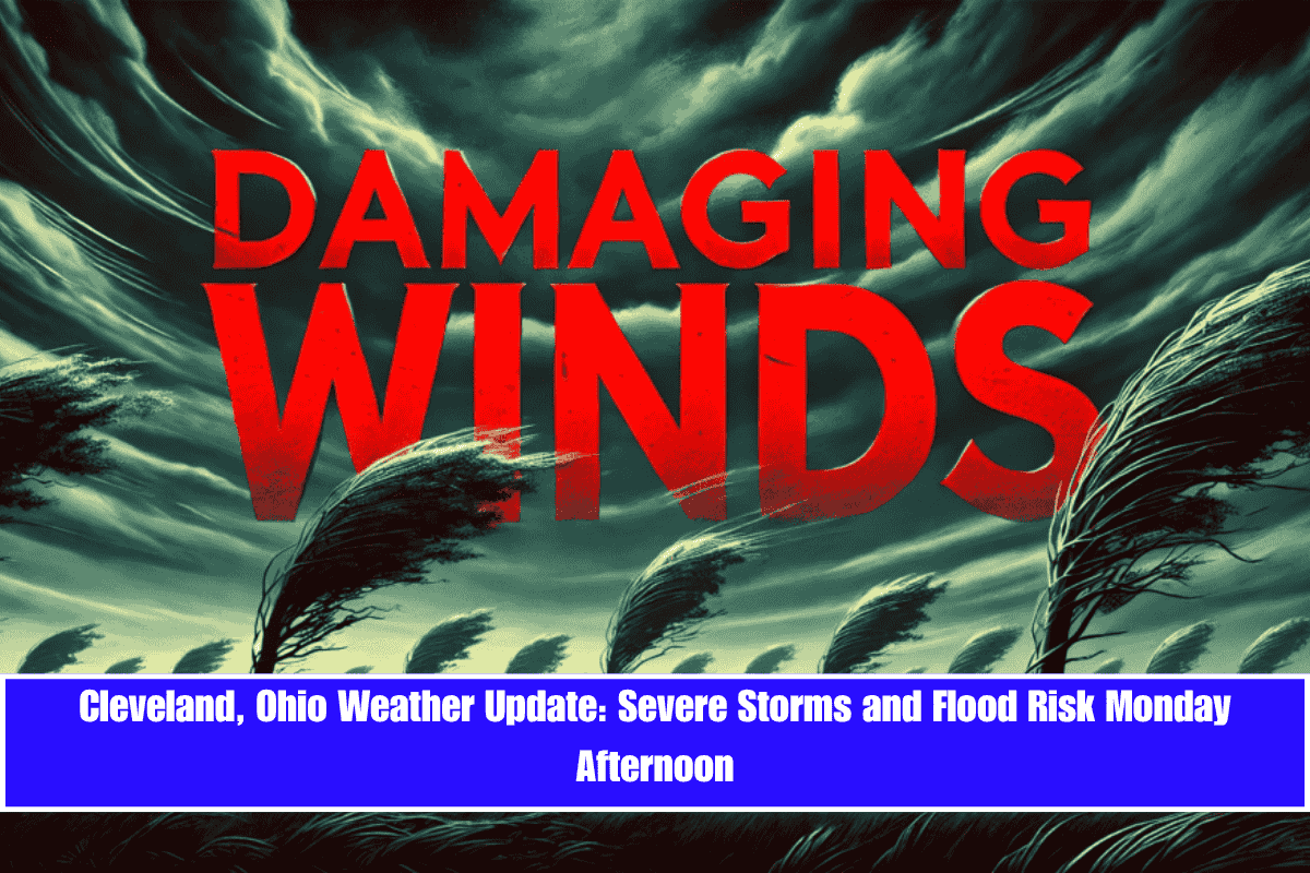
Severe weather is expected to impact northeast Ohio on Monday afternoon, with strong thunderstorms and a flood risk targeting the Cleveland metro and I-77 corridor by 2 p.m.
According to the National Weather Service in Cleveland, showers and thunderstorms will intensify throughout the day, with a 90% chance of rain after noon. Some storms may become strong to severe, producing damaging wind gusts and localized flooding. Rainfall could exceed a half-inch in isolated areas, particularly from Akron northward to Ashtabula.
Key Areas of Concern:
- I-77 Corridor: Expect intense storms, heavy rain, and potential flooding.
- Wooster to Mount Vernon: High confidence in storm development, particularly east of I-71.
- Cleveland, Parma, Mentor: Be prepared for power outages, ponding on roads, and possible delays on I-90, I-271, and I-480.
Storm Timing and Impact:
- Afternoon (Monday, June 9): Thunderstorms intensify after 12 p.m., with winds gusting up to 30 mph in the evening.
- Monday Night: Storms will continue until around 2 a.m. Tuesday, tapering off as the night progresses.
Safety Tips:
- Secure outdoor items to prevent damage from strong winds.
- Avoid travel during peak storm activity, especially on highways and roads prone to flooding.
- Stay weather-aware: Be ready for storm warnings and check NWS Cleveland updates throughout the day.
Looking Ahead:
- Tuesday (June 10): Partial clearing with a drier day, though another round of showers is possible after 2 p.m..
- Wednesday (June 11): Sunny with a high near 86°F.
- Thursday (June 12): Mostly sunny, high near 86°F.
- Friday (June 13): Storm chances return, high near 80°F.
- Saturday (June 14): Isolated storms likely, high near 78°F.
Residents should stay alert for storm warnings and monitor weather updates from the National Weather Service as conditions evolve.


