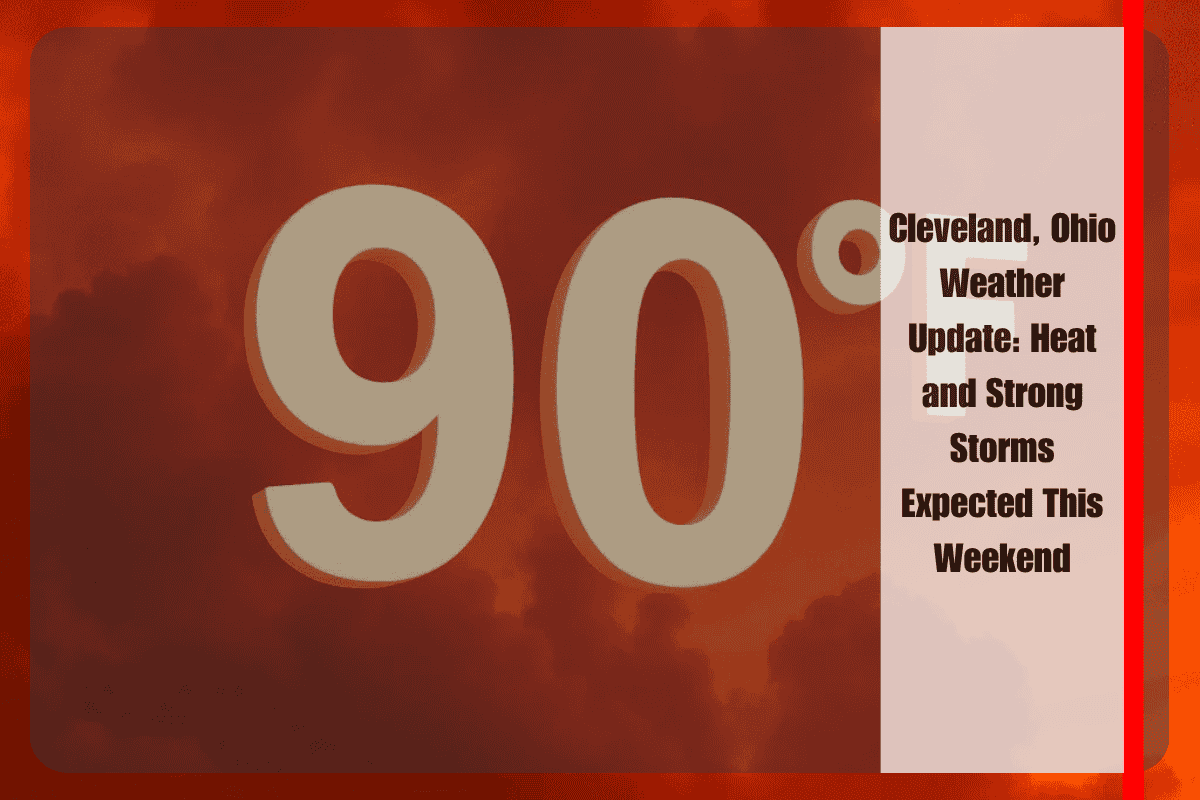
Cleveland, Ohio is bracing for a combination of oppressive heat and strong storms this Saturday. The National Weather Service has warned that residents from Cleveland to Canton should prepare for heat index values reaching up to 97°F, followed by thunderstorms that could bring gusty winds and heavy rain. These conditions are expected to create a challenging day for outdoor activities and travel.
On Saturday, temperatures will peak around midday, pushing the heat index near 97°F. By the afternoon, a band of strong to severe storms is expected to move in between 2 and 3 p.m. These storms could bring damaging winds, brief downpours, and isolated power outages. Wind gusts could exceed 30 mph, especially along major highways like I-90 and in counties near Lake Erie, including Lorain and Lake counties. The storms will likely intensify due to south winds of 8 to 10 mph, which could fuel storm development in areas like Medina, Stark, and Trumbull counties.
Anyone planning to be outside for work or events on Saturday should take precautions. It is important to hydrate early, limit sun exposure, and stay alert to sudden weather changes. The storms are expected to develop quickly, so those outdoors should be prepared for possible delays or disruptions. If you’re traveling or driving through affected areas, be aware of slick roads and reduced visibility during downpours.
By Saturday night, conditions are expected to improve. Skies will clear, and temperatures will drop to the upper 60s, providing a brief respite from the heat. Sunday will bring calm and sunny conditions, with highs reaching the mid-80s — a perfect opportunity to enjoy outdoor activities before more rain returns on Monday.
Looking ahead to the start of the new week, Monday will bring another round of showers and storms, with a 50% chance of rain late in the day. Highs will reach 88°F, making it a slightly more comfortable day, but rain could impact evening plans. Tuesday will see a high of 83°F, with morning rain possible, but conditions are expected to clear by the afternoon.
The five-day forecast for Cleveland is as follows:
Friday, June 27: High 91°F, heat index 97°F, 30% chance of storms.
Saturday, June 28: High 82°F, 50% chance of PM storms, gusty winds.
Sunday, June 29: Sunny, high 86°F.
Monday, June 30: High 88°F, late-day showers and storms (50%).
Tuesday, July 2: High 83°F, possible AM rain, clearing by afternoon.
For anyone with plans this weekend or early next week, it is important to stay informed and prepared. The combination of heat and storms will create potentially dangerous conditions, especially during the afternoon hours on Saturday. Make sure to adjust your plans as needed and stay safe while enjoying the warmer weather.


