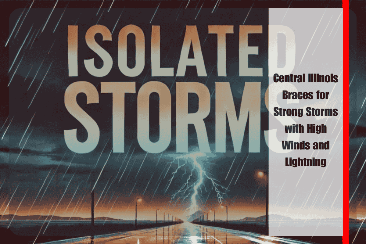
People in parts of Illinois should prepare for rough weather late Sunday into Monday, as a round of potentially severe thunderstorms is expected to move across the state. According to the National Weather Service (NWS) in Lincoln, this weather system could bring damaging wind gusts, lightning, and heavy rainfall.
Cold Front Bringing Storm Risk to Central and Western Counties
The storms will be triggered by a cold front sweeping through the region Sunday evening. Towns like Macomb, Beardstown, and Jacksonville are under a marginal risk for severe weather. The worst of the storms is expected to arrive after sunset, with possible wind gusts reaching 60 mph and frequent cloud-to-ground lightning strikes.
These storms may also bring bursts of heavy rain, which could lead to ponding on roads and brief power outages.
Storm Risk Expands Monday Across Eastern Regions
By Monday afternoon and evening, the storm risk will spread eastward toward cities such as Springfield, Decatur, Mattoon, and Champaign. The threat level remains isolated, meaning not everyone will be affected, but the storms could be strong where they do hit.
Officials warn that travel during these storms could become difficult due to low visibility and flooded roads. Commuters and residents should stay updated and be ready for changing conditions.
Safety Tips for Residents
Residents are advised to bring inside or secure any outdoor items like garden furniture or decorations that could blow away in strong winds. Make sure your mobile devices are fully charged in case of power cuts, and try to stay indoors during stormy weather.
This weather pattern is similar to past late-June storms in Illinois that caused wind damage and power outages due to lightning.
Stormy weather is expected to sweep across much of central Illinois starting Sunday evening. Although the threat is not widespread, the conditions could become dangerous in some areas. Stay weather-aware, follow safety advice, and be ready for possible power outages or travel disruptions. Updates will be provided as more information becomes available.


