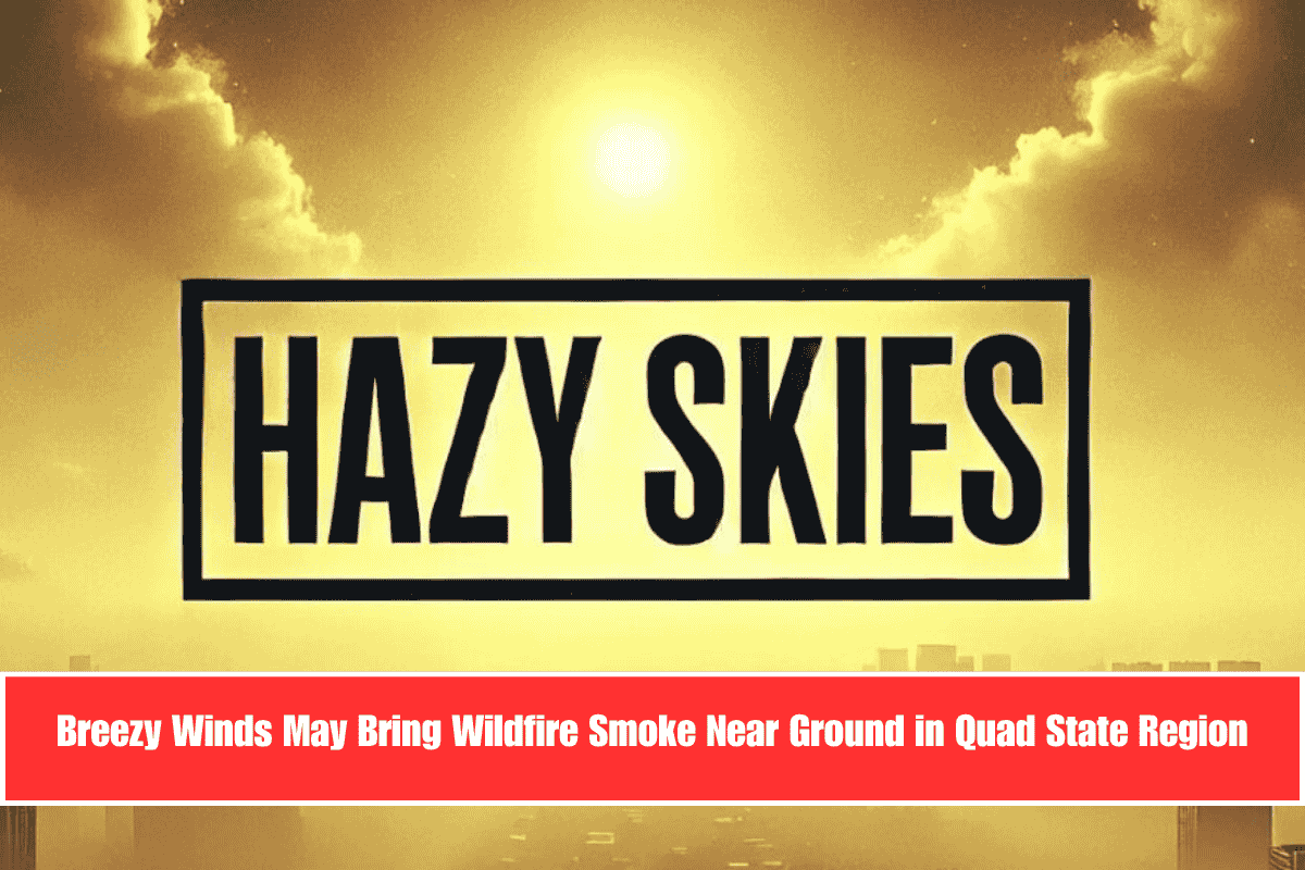
Strong winds are expected across the Quad State area on Tuesday, possibly pushing wildfire smoke closer to the ground. Because of this, the National Weather Service in Paducah has issued a Lake Wind Advisory from 11 a.m. to 7 p.m. CDT.
Wind Gusts and Hazy Skies Across Western Kentucky and Nearby Areas
Winds gusting between 20 and 26 mph will affect parts of western Kentucky, southern Illinois, southeast Missouri, and southwest Indiana. The strongest gusts, possibly over 26 mph, are expected near Mount Vernon, Marion, and St. Louis. Cities like Cape Girardeau, Paducah, and Madisonville may experience steady winds over 20 mph.
These breezy conditions could push wildfire smoke closer to the surface, causing hazy skies. The wind may also make lakes choppy and unsafe for boating during the advisory hours.
Safety Advice for Residents and Boaters
People sensitive to smoke or poor air quality should limit outdoor activities, especially in the afternoon when winds are strongest. Boaters are warned to be cautious or delay trips on local lakes until winds calm down.
Why the Advisory?
This is the first Lake Wind Advisory of June in the region. A high-pressure system and dry air are helping move smoke from wildfires in the west toward the Quad State area. The advisory will end by 7 p.m., but more air quality alerts might come if the haze remains.
Strong winds up to 26 mph in the Quad State region may bring wildfire smoke closer to the ground Tuesday. A Lake Wind Advisory warns of choppy lakes and hazy skies.


