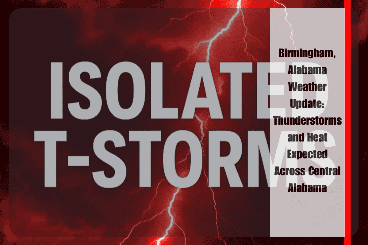
Central Alabama is bracing for another hot and stormy day, with scattered thunderstorms and sweltering heat expected to move across the region. High temperatures are forecast to reach the low 90s, impacting areas from Tuscaloosa to Gadsden. Isolated downpours may disrupt travel, particularly along the I-65 and I-20 corridors, making driving conditions hazardous during the afternoon hours.
The National Weather Service in Birmingham reports that scattered storms will linger into Friday night, with overnight lows dropping to around 70°F for most areas. While drier conditions are expected to affect the northwest corner of the region, heavier rain is anticipated to return on Saturday, bringing more storm activity.
Cities such as Montgomery (93°F), Selma (92°F), and Demopolis (91°F) are experiencing hot and humid conditions today, with a 20–30% chance of storms developing by mid-afternoon. As the weekend approaches, rain chances will significantly increase. Saturday is expected to see scattered to numerous showers across the region. Gadsden, Anniston, and Clanton are forecast to experience highs near 90°F, with the potential for localized flooding in low-lying areas.
With the storms and intense heat expected to continue, residents are advised to stay weather-aware throughout the weekend. It’s recommended to avoid outdoor activities during the peak heating hours to reduce the risk of heat-related illnesses. Additionally, residents should ensure their devices are charged in case of isolated power outages and avoid driving through flooded roadways, which could become dangerous during the storms.
As conditions change, additional weather advisories may be issued, particularly as Saturday’s storms approach. The National Weather Service will continue to provide updates and more information on the evolving weather conditions. Stay tuned for further details and keep an eye on local weather alerts.


