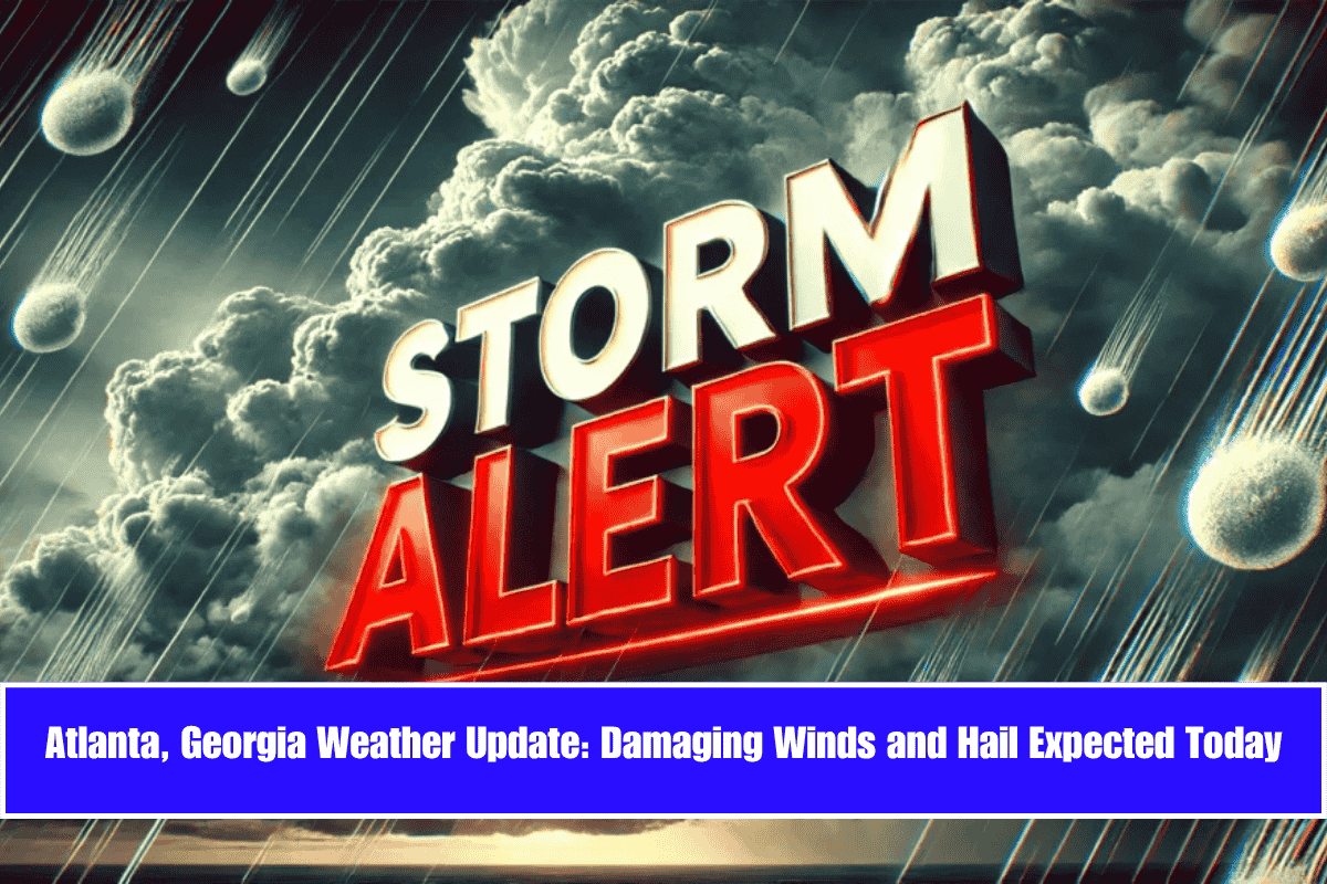
Damaging winds and large hail could impact millions across Georgia today, as strong thunderstorms move through the north and central parts of the state between 8 a.m. and 4 p.m. Sunday.
According to the National Weather Service in Peachtree City, the greatest risk is concentrated in central Georgia, where a Level 2 threat has been issued. Gusts may reach up to 60 mph, accompanied by frequent lightning and hailstones as large as quarters.
Key Areas at Risk:
- Macon, Warner Robins, Dublin, and Americus are most at risk during the late morning into mid-afternoon.
- In Atlanta, Rome, and LaGrange, a Level 1 risk remains, with isolated storms possible.
- While the tornado threat is low, power outages and downed trees could become a concern due to high winds.
Safety Tips:
- Secure outdoor items to prevent damage from strong winds.
- Avoid unnecessary travel during peak storm hours.
- Charge mobile devices in case of power outages.
- Stay tuned to NOAA Weather Radio or local alerts for updates.
Severe weather alerts will remain in effect until 4 p.m., with more updates possible depending on storm development across the region. Stay weather-aware and take necessary precautions to stay safe.


