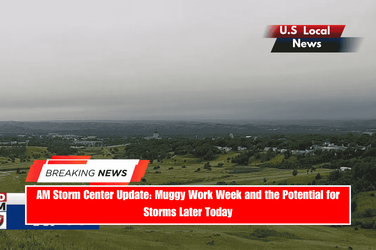
Sioux Falls, South Dakota — Our streak of warm and unsettled days does not appear to be ending anytime soon, as the atmosphere prepares for the second part of the weekend.
Some morning showers and storms will pave the way for additional showers and storms to develop and move into the region later this evening and into the night.
We have a Slight Risk of severe storms in central and northern South Dakota, with a Marginal Risk affecting almost everyone else in KELOLAND except southern South Dakota. The major concerns are wind and hail, but there is also an isolated tornado risk, particularly in the Slight Risk area. Stay weather-aware this afternoon and throughout the night.
Showers and storms move through the region overnight, resulting in a mostly quiet start to Monday with a few stragglers. With the current pattern continuing, scattered showers and thunderstorms are expected later in the day.
A Marginal Risk for Severe Weather affects almost everyone in KELOLAND except for the southwestern portion of South Dakota. Wind and hail are the primary worries. However, an isolated tornado risk exists as a secondary risk.
Tuesday will be a “Lather, Rise, Repeat” day, as the trend continues. Scattered showers and thunderstorms will return as the day progresses.
It will not be the last time we discuss this trend. The second half of the week is expected to bring more scattered showers and thunderstorms. However, some days will have better odds than others, such as Wednesday and Thursday.
All the while, heat and humidity persist, with highs in the upper 80s and low/mid 90s, and heat indices occasionally nearing 100.


