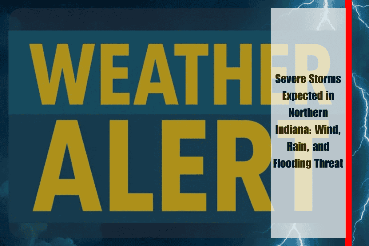
On Saturday, between noon and 7 p.m., northern Indiana will experience strong to severe storms, with the potential for damaging winds, heavy rain, and localized flooding. The National Weather Service (NWS) in Northern Indiana has issued a slight risk for severe weather, warning that the combination of warm, humid air and unstable conditions will fuel these storms.
What to Expect During the Storms
The primary threats from the storms include wind damage and torrential rain, which could lead to flooding, especially in low-lying areas. While the risk of small hail and an isolated tornado remains, these are considered less likely. Cities such as South Bend, Fort Wayne, Elkhart, and Goshen are in the risk zone, and major roads like US-30 and I-69 could see rapid water buildup during peak travel hours.
Temperatures will rise to the upper 80s to near 90°F, with heat indices reaching the low to mid-90s, making the weather feel even hotter. The intense heat combined with the storm activity could strain power grids, potentially causing brief outages.
Safety Tips and Precautions
Residents in the affected areas are urged to secure outdoor items ahead of the storms and avoid low-lying areas that are prone to flooding. Travelers should be cautious, especially along US-30 and I-69, where water may accumulate quickly. It’s important to stay updated with weather alerts to monitor any changes as the storm system progresses.
While conditions are expected to calm by evening, the clean-up from the storms may continue into Sunday. As the system evolves, additional weather alerts may be issued.
Northern Indiana faces a potential severe storm event on Saturday afternoon. While the greatest threats are strong winds and heavy rain, all residents should be prepared and stay informed for updates on any additional risks.


