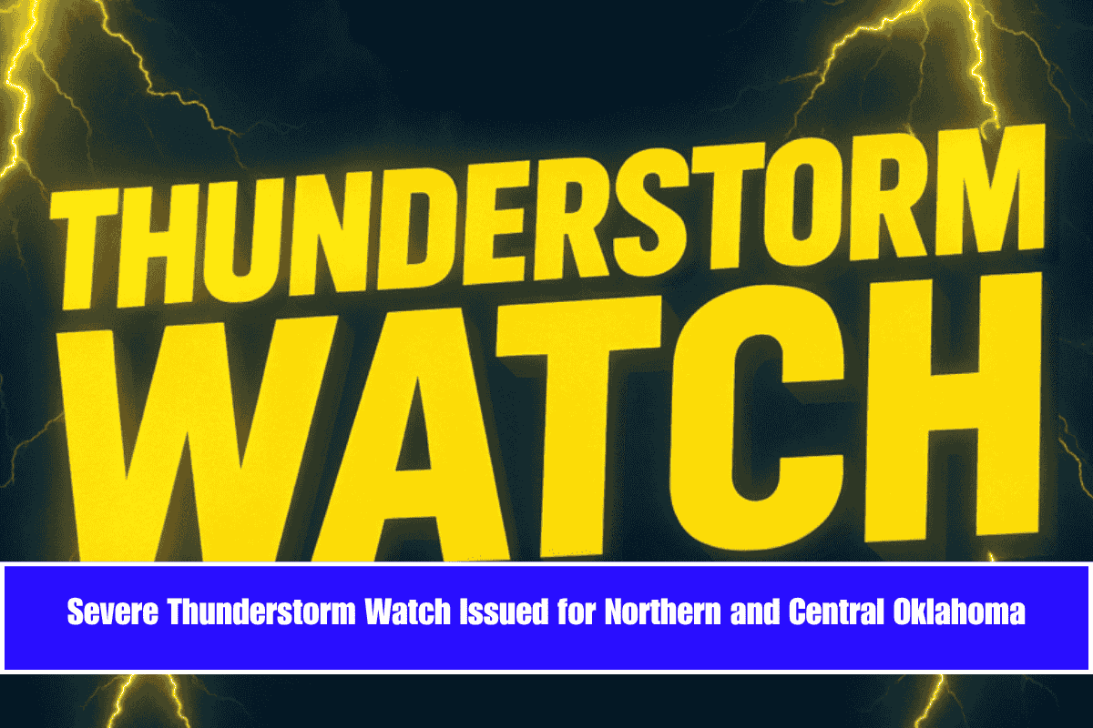
A severe thunderstorm watch is in effect for much of northern and central Oklahoma, lasting until 8 a.m. Friday. The watch includes damaging winds, large hail, and the possibility of isolated tornadoes overnight. The National Weather Service in Norman has issued the alert as storm conditions pose a risk throughout the region.
Areas Affected by Severe Storms
The severe weather watch covers over two dozen counties, including Tulsa, Oklahoma, Payne, Garfield, Kay, Logan, and Woodward. Cities like Oklahoma City, Stillwater, Ponca City, and Enid are all within the impacted area. Scattered storms could bring wind gusts up to 75 mph, ping pong ball-sized hail, and the potential for a couple of tornadoes, particularly across north-central Oklahoma.
Potential Hazards and Safety Measures
The storm system poses serious risks, including wind damage to trees and power lines, which could cause scattered power outages overnight. Emergency managers are urging residents to secure outdoor items and have multiple ways to receive weather warnings. Motorists should avoid traveling during the peak storm periods to minimize the risk of accidents.
This event marks Oklahoma’s first widespread severe weather of June, a month known for unpredictable storms. The Storm Prediction Center estimates that over 1.4 million people, 592 schools, and 63 hospitals are located within the watch area.
What to Expect After Sunrise
The storm threat is expected to decrease after sunrise, but additional alerts may be issued if conditions change on Friday. Residents are encouraged to stay updated on the latest forecasts to stay safe.


