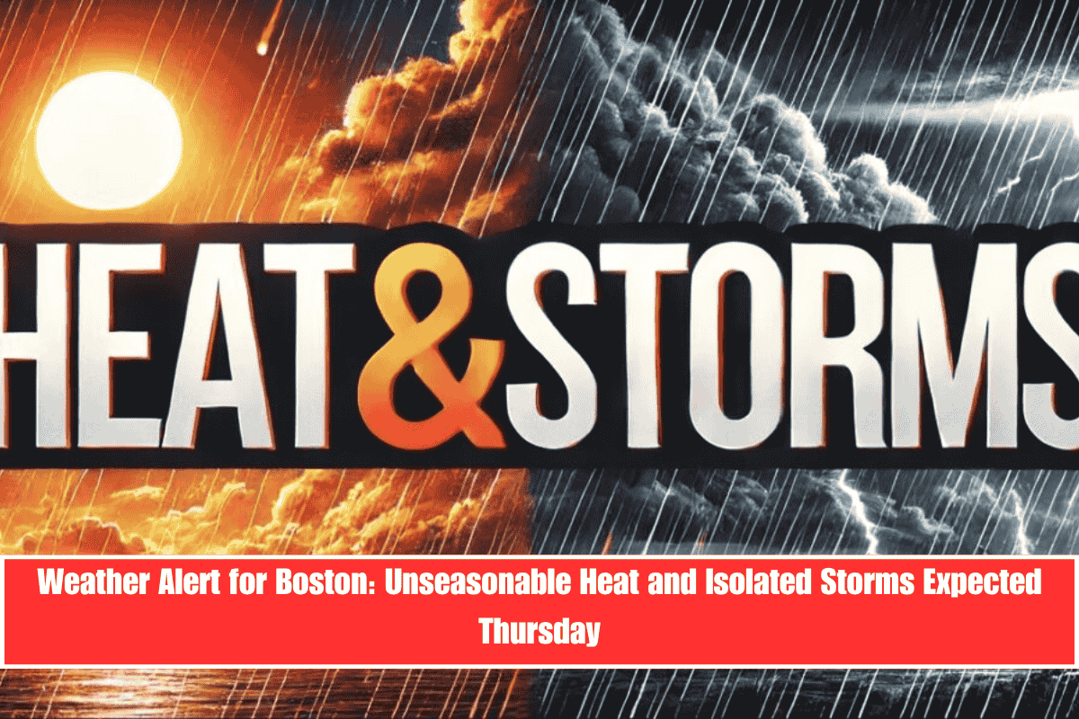
Boston and much of eastern Massachusetts are heading into Thursday under a weather alert due to unseasonably hot temperatures and the chance of isolated thunderstorms. These conditions could lead to travel delays and potential power disruptions, especially during the peak afternoon hours.
Thursday’s Weather Outlook
According to the National Weather Service in Norton, Thursday will bring temperatures near 90°F across the region, with the possibility of thunderstorms after 1 p.m. Winds will shift from the west to the southeast later in the day, with gusts reaching up to 9 mph. While the chance of storms remains at 20%, the combination of heat and isolated thunderstorms could take commuters and outdoor workers by surprise.
Impact on Commuters and Outdoor Workers
Commuters along major routes like I-93, I-95, and Route 1 should be aware of the potential for brief downpours or lightning between 2 p.m. and 6 p.m. The heat index may push temperatures even higher than the actual air temperature, especially in Boston, Quincy, and Lowell.
Safety Tips for Thursday’s Heat
- Stay Hydrated: Drink plenty of water throughout the day, particularly if you plan to be outside.
- Limit Outdoor Activities: Avoid strenuous activity, especially during peak heat hours in the afternoon.
- Protect Yourself from the Heat: Wear light clothing, sunscreen, and a hat if you have to be outside.
Evening and Weekend Outlook
Thursday night will remain mostly cloudy with a muggy low near 69°F, offering minimal relief. Looking ahead:
- Friday brings a 60% chance of thunderstorms, particularly after 5 p.m.
- Saturday sees an even higher storm risk at 70%, with the potential for widespread storms and flash flooding in areas with poor drainage.
- Sunday will see a chance of showers, but conditions should dry out by the afternoon.
Stay Informed
Warnings and alerts remain possible into Friday and Saturday, so keep monitoring local weather updates for the latest information.


