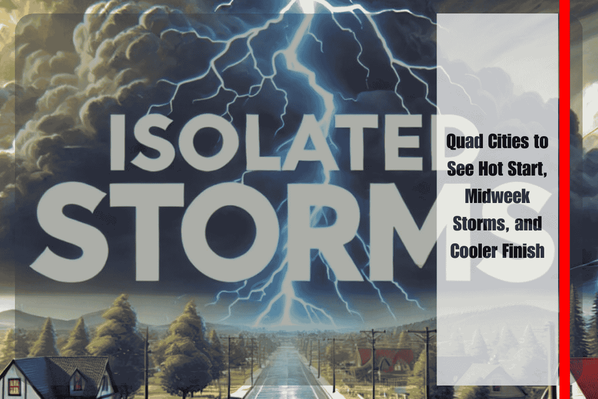
Davenport, IA – Residents across eastern Iowa and western Illinois will start the workweek with warm, humid conditions, before a midweek cold front brings storm chances and a shift toward cooler, more comfortable weather. According to the U.S. National Weather Service (NWS) Quad Cities office, the pattern will unfold gradually, with the most notable changes arriving by Wednesday night.
Warm and Humid Early Week
Monday and Tuesday will be dominated by late-summer heat, with highs climbing into the upper 80s and low 90s. Humidity will remain elevated, creating sticky afternoons across the region. While most areas are expected to stay dry, forecasters warn of isolated showers and thunderstorms, especially west of Highway 218 in Iowa. These storms will be spotty in coverage and short-lived, but they could bring brief downpours and lightning to localized areas.
Midweek Cold Front Brings Rain
The best chance for more widespread rain arrives Wednesday night as a cold front pushes across the Mississippi River Valley. Scattered showers and thunderstorms are expected to accompany the front, giving the region its highest precipitation chances in more than a week. Forecasters estimate storm coverage between 20 and 30 percent, though the exact timing and intensity remain somewhat uncertain.
Wednesday evening travel may be affected by downpours, and outdoor events could face interruptions. At this point, the storms are not expected to be severe, but residents are encouraged to stay updated on the latest forecasts.
Cooler, Drier Finish
By Thursday, the front will usher in a noticeable cooldown. Highs will drop into the upper 70s to low 80s, with humidity levels easing. While a few lingering storms are possible Thursday afternoon, conditions are expected to improve heading into Friday and the weekend. Sunshine and more comfortable air will provide relief after the stretch of heat and humidity earlier in the week.
Staying Prepared
The NWS urges residents in the Quad Cities and surrounding communities to monitor forecasts closely, particularly on Wednesday night when storm activity is most likely. Drivers should allow extra time during the evening commute, and those planning outdoor activities should remain weather-aware.
With a mix of summerlike heat, midweek storms, and a refreshing cooldown, the week ahead will showcase the region’s classic late-summer weather transition.


