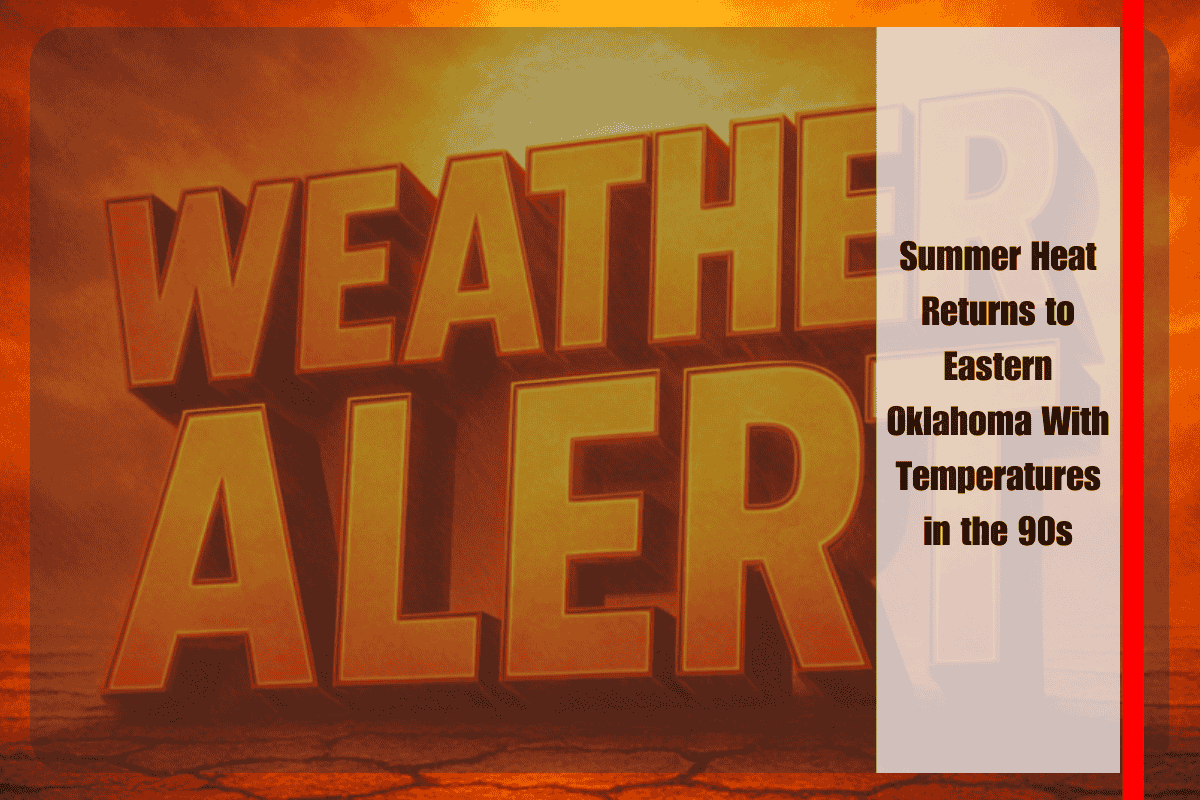
TULSA, Okla. – Eastern Oklahoma is bracing for another round of late-summer heat as temperatures climb back into the 90s this week, with little chance of rain to provide relief. The warm stretch is expected to persist through at least midweek, affecting communities across Tulsa, Fort Smith, and the surrounding region.
According to the National Weather Service in Tulsa, daytime highs will remain between 91 and 95 degrees through Wednesday. Overnight lows are forecast to settle in the upper 60s and lower 70s, offering only modest cooling. Humidity levels are expected to keep heat index values close to actual temperatures, but the overall lack of rain means dry conditions will dominate across the area.
Cities such as Fort Smith and Fayetteville will mirror Tulsa’s weather pattern, experiencing daily highs in the low to mid-90s. Communities including Muskogee, McAlester, and Rogers will see similar conditions, with no significant rainfall expected. Forecast models show rain chances hovering below 10% for most locations during the week, leaving little opportunity for storms to develop.
The extended run of hot, dry weather could create challenges for outdoor workers, farmers, and livestock owners. Residents who spend long periods outside are advised to limit activity during the afternoon hours, when temperatures peak. Health officials also recommend staying hydrated, taking frequent breaks in shaded or air-conditioned areas, and checking on elderly or vulnerable neighbors who may not have access to reliable cooling.
Though the pattern is typical for late summer, the persistence of above-average temperatures without rain raises concerns for those relying on cooler weather to return. Lawns, crops, and gardens may show stress under the hot and dry conditions, while local reservoirs and soil moisture levels could trend downward if the dry stretch continues.
Meteorologists say the current forecast does not include any major fronts or widespread storm systems through Wednesday, making it unlikely that eastern Oklahoma will see meaningful relief in the immediate future. However, forecasters continue to monitor long-range models for signs of a pattern shift later in the month.
For now, residents should prepare for another round of summerlike weather and take precautions against heat-related illnesses. The hot and dry trend underscores the importance of staying alert to daily conditions as the region waits for cooler fall air to arrive.


