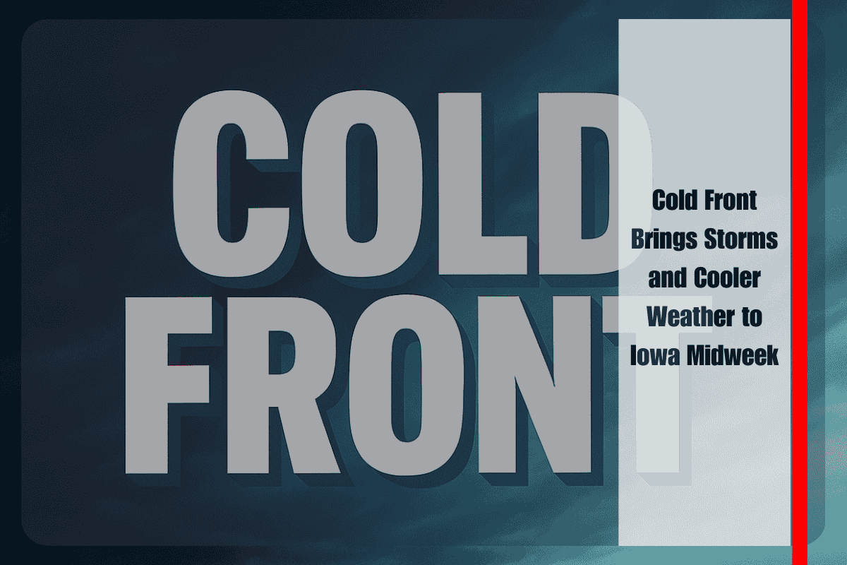
A sharp cold front is making its way into Iowa, promising to shake up the state’s weather pattern with stormy skies followed by a much cooler, fall-like stretch as the workweek winds down. The National Weather Service in Des Moines is warning residents to prepare for scattered showers and thunderstorms overnight and into Wednesday, some of which may arrive with strong winds and heavy rainfall.
On Tuesday night, the front began pushing into the northern half of the state, sparking developing thunderstorms while pulling in noticeably cooler air. Overnight lows are expected to settle into the mid-50s to near 60 degrees, a marked difference from the warmer and more humid nights earlier in the week. This drop signals the start of a refreshingly cooler spell that will keep temperatures below seasonal norms into the weekend.
Wednesday will be the most active weather day of the week across Iowa. Storms are expected to spread across much of the state throughout the day, carrying the potential to pack strong, gusty winds along with occasional heavy downpours. While the severe weather threat remains limited, forecasters note that conditions are favorable for some stronger storms, particularly during the afternoon and evening hours. Afternoon highs will be held in check, ranging from the mid-60s to mid-70s depending on location. Travelers should prepare for sudden changes in visibility on major routes such as Interstate 80 and U.S. Highway 20, where storms could quickly produce slick roads and slow traffic.
By Thursday, unsettled conditions will linger, though coverage of storms will begin to decrease compared with Wednesday. Scattered thunderstorms are still expected, especially across central and eastern parts of the state. These could once again impact the evening commute, bringing bursts of heavy rainfall and localized ponding on roads. Outdoor activities and evening events may also be disrupted as showers move through, making it advisable to keep alternate plans ready.
The storm system is expected to clear eastward by Friday, opening the door to drier and cooler conditions. Partly sunny skies will return, with highs falling into the mid to upper 60s and low 70s, making for a much more comfortable and fall-like feel across the state. The lower humidity combined with light breezes should offer residents an ideal opportunity to enjoy outdoor activities without the threat of storms.
Looking ahead to the weekend, early trends suggest that Iowa will remain under the influence of cooler and generally stable weather. While daytime highs may struggle to approach seasonal averages, the dry air and clear skies will provide a welcome reset after midweek storms. For residents and farmers, the break in wet weather will be beneficial, while sports fans and outdoor enthusiasts can look forward to more predictable conditions.
In the meantime, Iowa residents are urged to stay weather aware on Wednesday and Thursday, as thunderstorms could turn stronger in isolated pockets. Keeping an eye on updated forecasts and being mindful of any watches or warnings will be key to navigating this transitional weather pattern safely.


