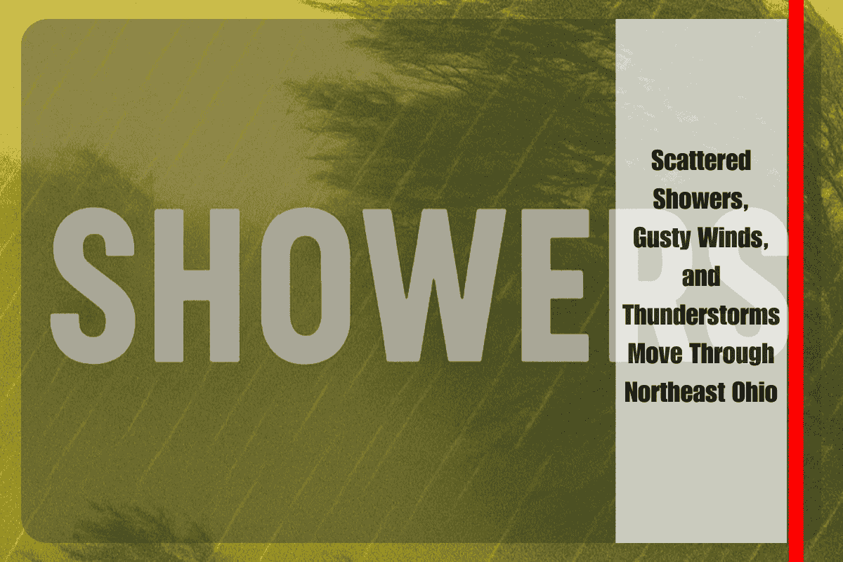
CLEVELAND, OH — Tuesday afternoon brought scattered showers and the threat of gusty winds and downpours across northeast Ohio, as storms pushed through the region. The National Weather Service in Cleveland says showers will continue into the early evening, with wind gusts reaching up to 35 mph and brief thunderstorms possible.
Heaviest Rain Expected Around Cleveland, Akron, and Youngstown
The strongest storm activity is forecasted for north central Ohio and interior northeast counties, including Cleveland, Akron, and Youngstown. Rainfall could quickly reduce visibility, especially along major highways like I-71 and I-77, where short bursts of heavy rain and isolated thunder are most likely.
Travel Impact: Ponding, Wind, and Reduced Visibility
Drivers should expect:
- Ponding on roads, especially in low-lying or poorly drained areas
- Sudden drops in visibility during heavy rainfall
- Wind gusts up to 35 mph, which may impact high-profile vehicles
- Minor tree limb damage due to gusty winds
Residents are advised to secure outdoor items such as patio furniture, umbrellas, or lawn equipment, and remain cautious if heading out during active storms.
Rain Tapers Tonight, More Unsettled Weather Ahead
Showers are expected to diminish later tonight, but unsettled weather may return midweek, with additional chances for rain as another system moves into the region.


