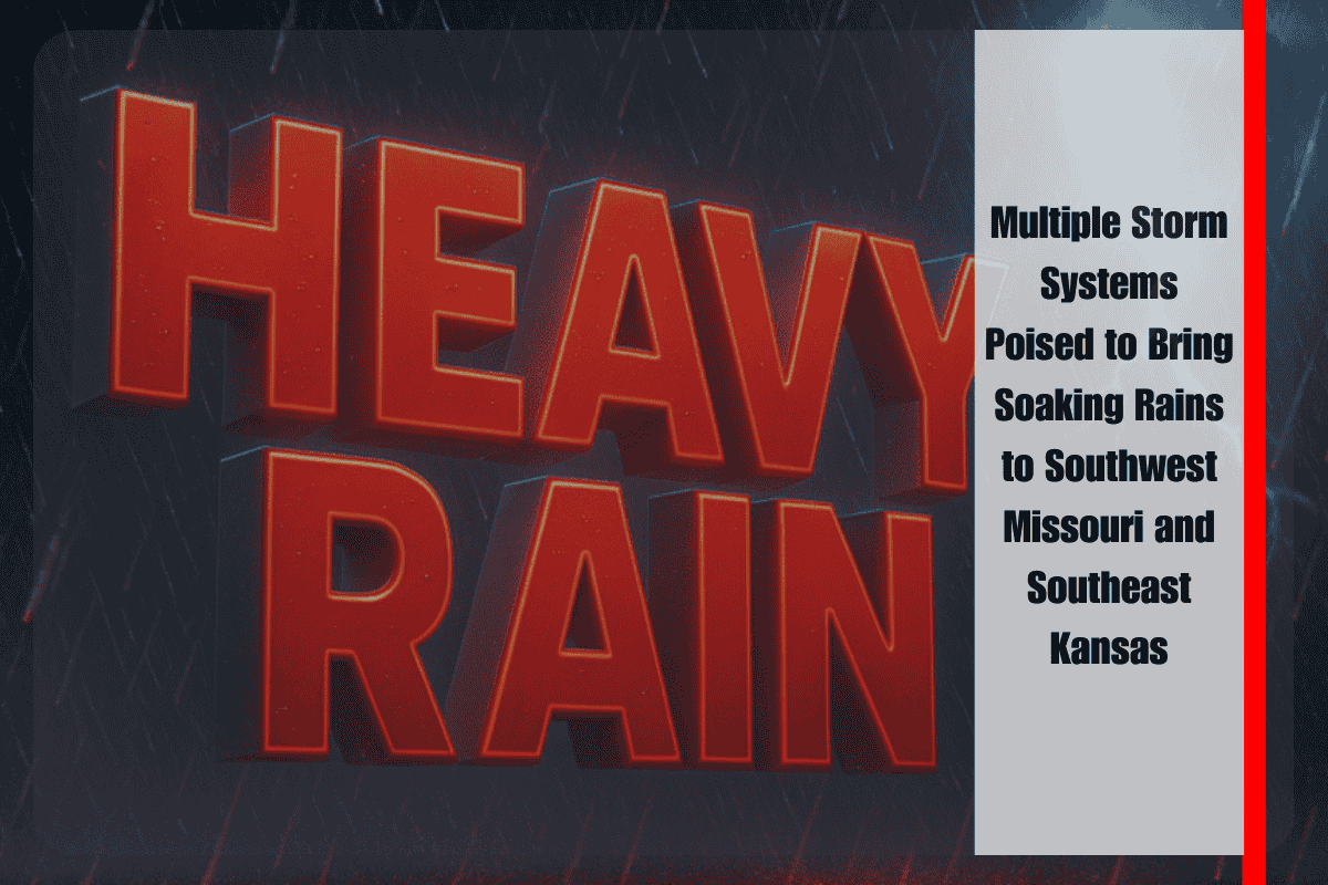
As the end of August approaches, the Central Plains are gearing up for an active stretch of weather. According to the National Weather Service in Springfield, multiple storm systems are expected to sweep across the region early next week, bringing widespread rain chances and the potential for localized flooding.
The exact placement and timing of the heaviest rainfall remains uncertain, but forecasters agree that southeast Kansas and southwest Missouri are the most likely areas to see soaking rains. Communities along the Missouri–Kansas border will be especially vulnerable, though totals are still unclear. For residents in Joplin, Springfield, and Fayetteville, unsettled conditions could begin as early as Monday and persist through midweek. Heavy downpours are possible, particularly if storms redevelop over the same areas, leading to slow commutes, ponding on roads, and localized flooding in low-lying areas.
Travelers along I-44 should prepare for wet pavement and reduced visibility during heavier rain. Rural and flood-prone roads may become hazardous as runoff accumulates quickly. Even without exact totals, forecasters caution that repeated showers over the same locations could produce localized flooding concerns. Emergency managers are urging residents to remain weather-aware, check forecasts frequently, and avoid driving into flooded areas.
Preparedness will be important as the week begins. Officials recommend keeping travel flexible, having a way to receive alerts, and securing belongings that could be impacted by flooding. Communities across southwest Missouri, where terrain and drainage patterns can amplify flood risks, are particularly encouraged to stay ahead of the weather.
The unsettled pattern is expected to continue through at least Wednesday, and additional storm systems may arrive later in the week. While details remain uncertain, the overall setup suggests an extended period of wet weather for the Missouri–Kansas border region. If storm tracks shift closer to Missouri, rainfall could become heavier and more widespread, prompting further advisories. If they trend farther west, heavier rain may remain confined to Kansas.
Monday is expected to bring increasing rain chances as scattered thunderstorms develop, with highs in the mid-80s. By Tuesday, widespread showers are likely, and locally heavy downpours could occur, keeping temperatures in the low to mid-80s. Wednesday should remain unsettled with showers and thunderstorms continuing across the area, with highs again in the 80s.
While the precise rainfall totals are uncertain, the pattern points to a wet start to the week across southeast Kansas and southwest Missouri. Residents should remain alert, prepare for possible travel disruptions, and monitor updates closely as forecasters refine the outlook.


