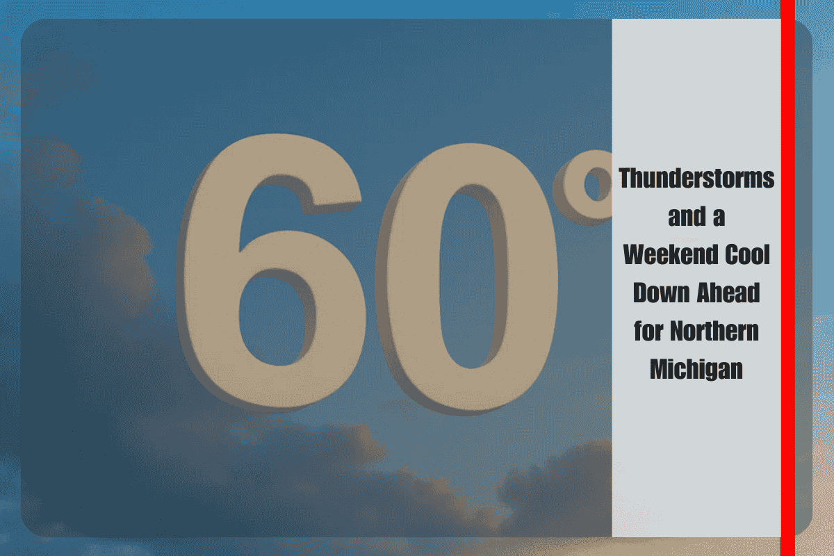
As late-summer warmth hangs on across Michigan, residents in Gaylord and the broader northern region should prepare for a shift in weather patterns this weekend. The National Weather Service in Gaylord is forecasting a round of thunderstorms tonight, followed by a sharp drop in temperatures as a cold front moves through.
Stormy Start to the Weekend
Thunderstorms are expected to fire up across eastern Upper Michigan late tonight before sliding into the Tip of the Mitt overnight. Motorists traveling along I-75, M-32, and US-131 should expect wet pavement, reduced visibility, and possibly brief downpours into Saturday morning. While storms are likely to be scattered and isolated in nature, any heavier cells could still bring locally intense rain.
Alongside the wet conditions, forecasters advise caution for those with outdoor plans tonight. Rain gear will be essential, and residents should secure loose items ahead of the expected winds. While the storms may not be widespread, the unsettled weather will mark the arrival of a new air mass set to change the region’s feel dramatically.
A Noticeable Cool Down
Behind the front, cooler Canadian air will pour into northern Michigan. Saturday will begin with lingering showers, but daytime highs should still reach the lower 70s in most areas. By Sunday, however, the difference will be clear: daytime highs are forecast to dip into the upper 60s, while nighttime lows fall into the upper 40s to low 50s.
The cooler air will be reinforced Monday, when brisk northwest winds are expected to develop. Highs could struggle to reach the lower 60s, making it feel more like early October than late August. With gusty winds and scattered showers continuing, residents should prepare for a raw and chilly start to the new week.
Lingering Showers and Fall-Like Pattern
The unsettled weather pattern will linger into the middle of next week. Cloud cover will dominate on Tuesday and Wednesday, with occasional light showers continuing across the region. Temperatures will remain cooler than average, holding in the mid to upper 60s during the day and dipping into the 40s at night.
This shift offers a clear signal that the end of summer warmth may be in sight. Gardeners and those planning late-summer activities should be mindful of the trend toward cooler nights and cloudier days.
Safety and Preparedness Tips
The National Weather Service advises residents to stay weather-aware. While no severe storms are currently anticipated, any heavier thunderstorms tonight could briefly impact travel. Keep umbrellas and rain jackets close at hand, especially if attending outdoor events on Saturday. Travelers should slow down on wet roads, allow for extra braking distance, and be prepared for changing conditions as showers move through.
With winds increasing by early next week, outdoor furniture and lightweight items should be secured to prevent damage or loss. Those heading out on northern Michigan lakes should also be aware of choppier waters as gusts build Monday.
Five-Day Forecast for Gaylord, Michigan
- Saturday: Showers early, highs 71–82, lows 50–60.
- Sunday: Cooler with scattered showers, highs 64–74, lows 46–54.
- Monday: Chilly and breezy with showers, highs 57–67, lows 43–53.
- Tuesday: Cloudy with lingering showers, highs in the mid-60s.
- Wednesday: Mostly cloudy, highs in the upper 60s, spotty showers possible.


