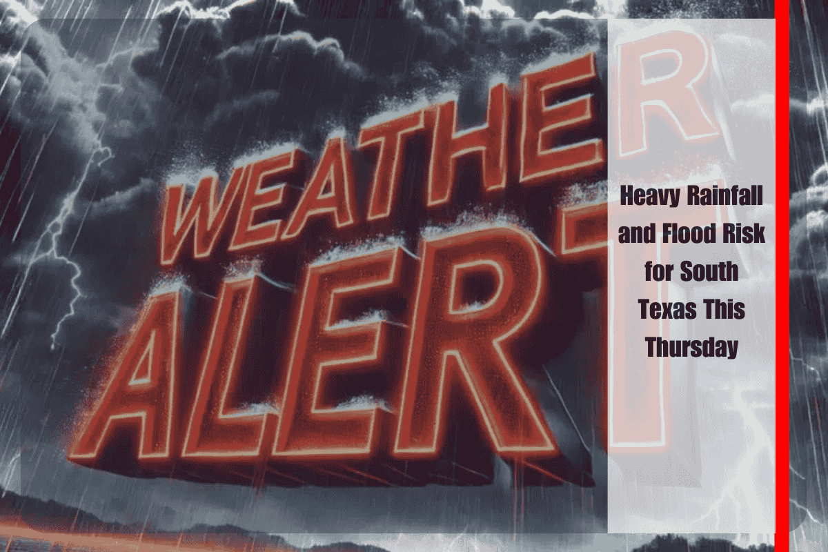
South Texas is preparing for rounds of heavy rainfall Thursday afternoon and evening, increasing the risk of isolated flooding across the Coastal Bend. Areas could see between 1 and 3 inches of rain in a short period, which could overwhelm low-lying roads and drainage systems, particularly in more vulnerable areas.
The National Weather Service in Corpus Christi has issued a Level 1 excessive rainfall risk, with at least a 5% chance of flash flooding in localized spots. The greatest impacts are expected in coastal counties, including Nueces, Aransas, and Refugio, where slow-moving showers may persist for extended periods.
Drivers are urged to stay alert on major roads such as Interstate 37, Highway 35, and the Crosstown Expressway, where standing water could accumulate quickly. Emergency officials remind everyone: “Turn Around, Don’t Drown.” Residents are also advised to avoid driving through flooded streets and low-water crossings, which may wash out in rural areas.
Communities from Victoria to Kingsville could experience ponding on roadways, while the most significant risks are expected in areas where storms repeat. Although widespread flooding is not anticipated, isolated incidents can be dangerous, especially as storms pass over the same neighborhoods.
Rain chances are expected to taper late Thursday night, but additional showers are possible into the weekend, keeping conditions unsettled. Residents are encouraged to stay informed and prepared for changing weather conditions.


