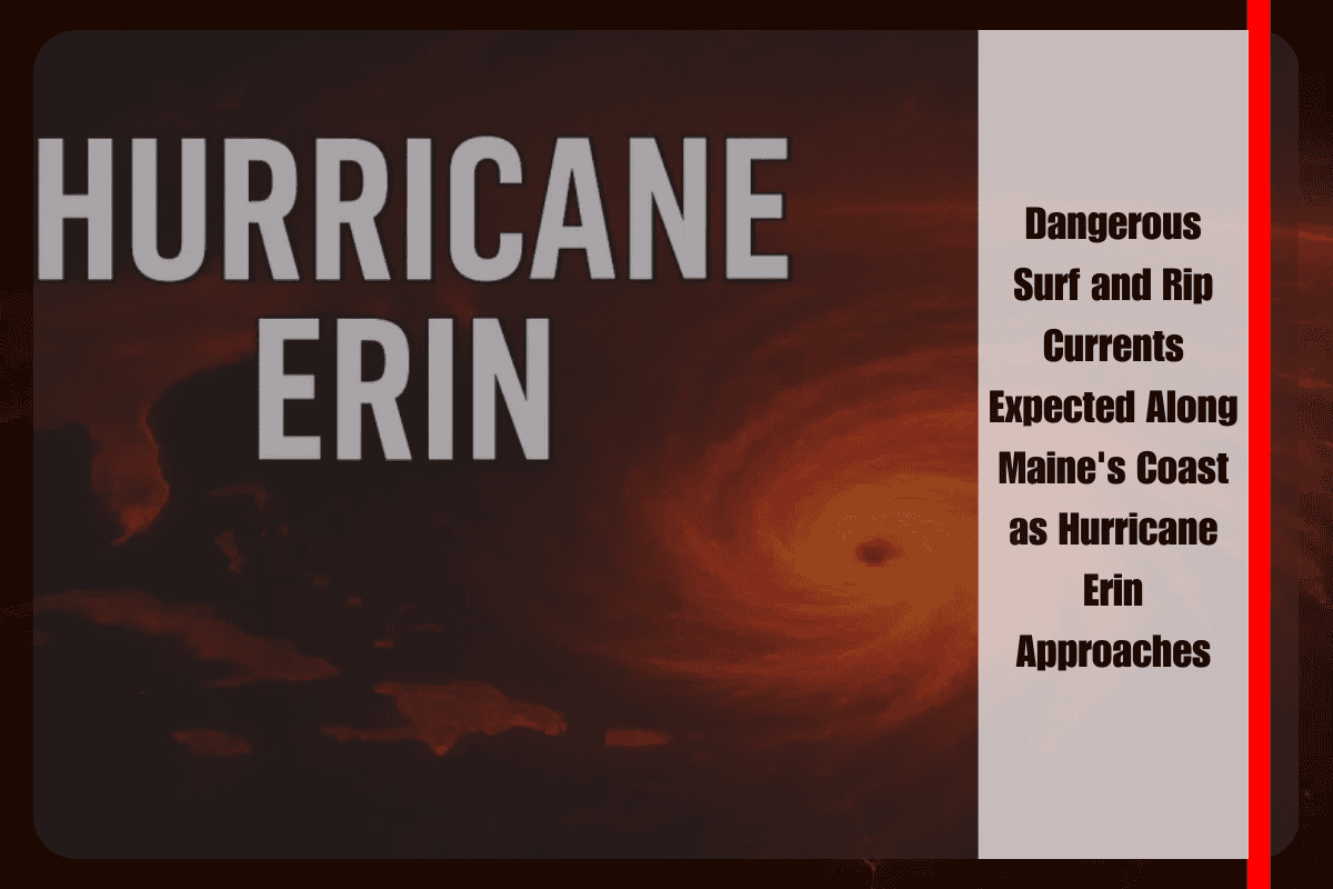
Maine’s shoreline is set to face significant hazards through Saturday, as waves topping 10 feet are expected due to the passing of Hurricane Erin well southeast of the Gulf of Maine. Although the hurricane’s rain and wind will not directly affect the region, its long-period swells will create dangerous rip currents and increase the risk of coastal flooding.
The National Weather Service in Caribou reports that the hazardous surf conditions will begin late Wednesday night, with the most dangerous waves expected to peak Friday into Friday night. The highest risk will occur during high tides around 10:50 a.m. and 11:04 p.m. on Friday. Despite the absence of rain or wind from the hurricane, the wave action alone will pose a significant threat to anyone near the coast.
Officials are urging beachgoers to stay well back from rocks and jetties, as sneaker waves—unexpectedly large waves that can wash people into the ocean—are a serious concern. The National Weather Service emphasized that many fatalities in Maine have occurred when people underestimated the power of high surf, making caution critical.
Rip currents will be especially strong during this period. Swimmers are advised not to fight against the current but instead to remain calm, float, and swim parallel to the shore to break free. Emergency managers are recommending that residents and visitors avoid non-essential trips near exposed shorelines and to stay updated on local alerts throughout the weekend.
The dangerous surf conditions and potential coastal erosion will persist through Saturday night, with marine advisories likely remaining in effect until seas calm. In summary, the combination of high surf, strong rip currents, and the risk of coastal flooding make it important for anyone along Maine’s coast to stay safe and heed local warnings.


