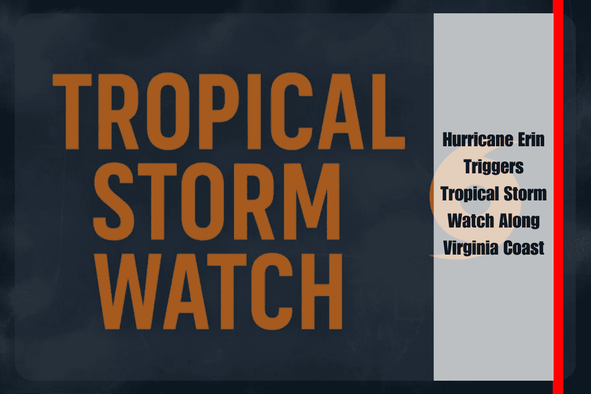
As Hurricane Erin tracks northward offshore, the National Weather Service in Wakefield has issued a tropical storm watch for the Atlantic coastal waters south of Cape Charles. While Erin is not expected to make landfall, its reach is already being felt, with threats of strong winds, flooding, and hazardous surf conditions beginning Wednesday night and lasting into Thursday.
Strong Winds Across Coastal and Inland Areas
Forecasters warn that north to northeast winds could gust up to 40 mph along the Virginia coast, particularly impacting oceanfront communities. Tropical storm force conditions are expected over open waters, posing risks to marine traffic and coastal infrastructure. Inland areas—including Richmond, Petersburg, and Franklin—may also experience gusts of 20 to 30 mph on Thursday, enough to down small branches and create isolated power outages.
The most dangerous conditions will be felt along the shoreline, where elevated winds combined with storm surge could batter weakened dunes and erode protective beach structures.
Flooding Remains the Greatest Concern
Flooding is expected to be the storm’s most widespread and damaging effect. From Wednesday night through Thursday night, forecasters anticipate minor to moderate tidal flooding throughout southeast Virginia and northeast North Carolina. Localized major flooding is possible in Virginia Beach and Currituck County during high tide cycles, when storm-driven waters will push well inland.
Water levels could rise between 1 and 3 feet above ground in vulnerable low-lying areas. Such inundation may swamp coastal roads, flood neighborhoods near the shore, and temporarily cut off access to barrier island communities.
Coastal Hazards and Dangerous Surf
Seas of 10 to 15 feet are forecast by Thursday morning, creating treacherous marine conditions. The risk of rip currents remains high, and officials are warning both residents and visitors to stay out of the water until conditions improve. Beach and dune erosion is likely to be significant, especially in exposed areas of Virginia Beach and along the Outer Banks.
Even well-prepared protective structures could be compromised under prolonged wave action, leaving communities more vulnerable to future storms.
Advisories and Preparedness
State and local emergency officials urge residents to secure property near the shoreline, prepare for potential travel disruptions, and remain alert to changing forecasts. With the possibility of Erin shifting closer to shore, additional advisories may be issued in the coming days.
The tropical storm watch highlights that dangerous impacts will extend far beyond Erin’s center. Even without a direct strike, the storm’s broad wind field and surge will affect both land and ocean waters, underscoring the need for caution.
As Erin approaches midweek, Virginia’s coastal residents face a combination of wind, water, and surf hazards that will test the resilience of dune systems and low-lying communities. With flooding and erosion expected to be widespread, vigilance and preparation remain essential.


