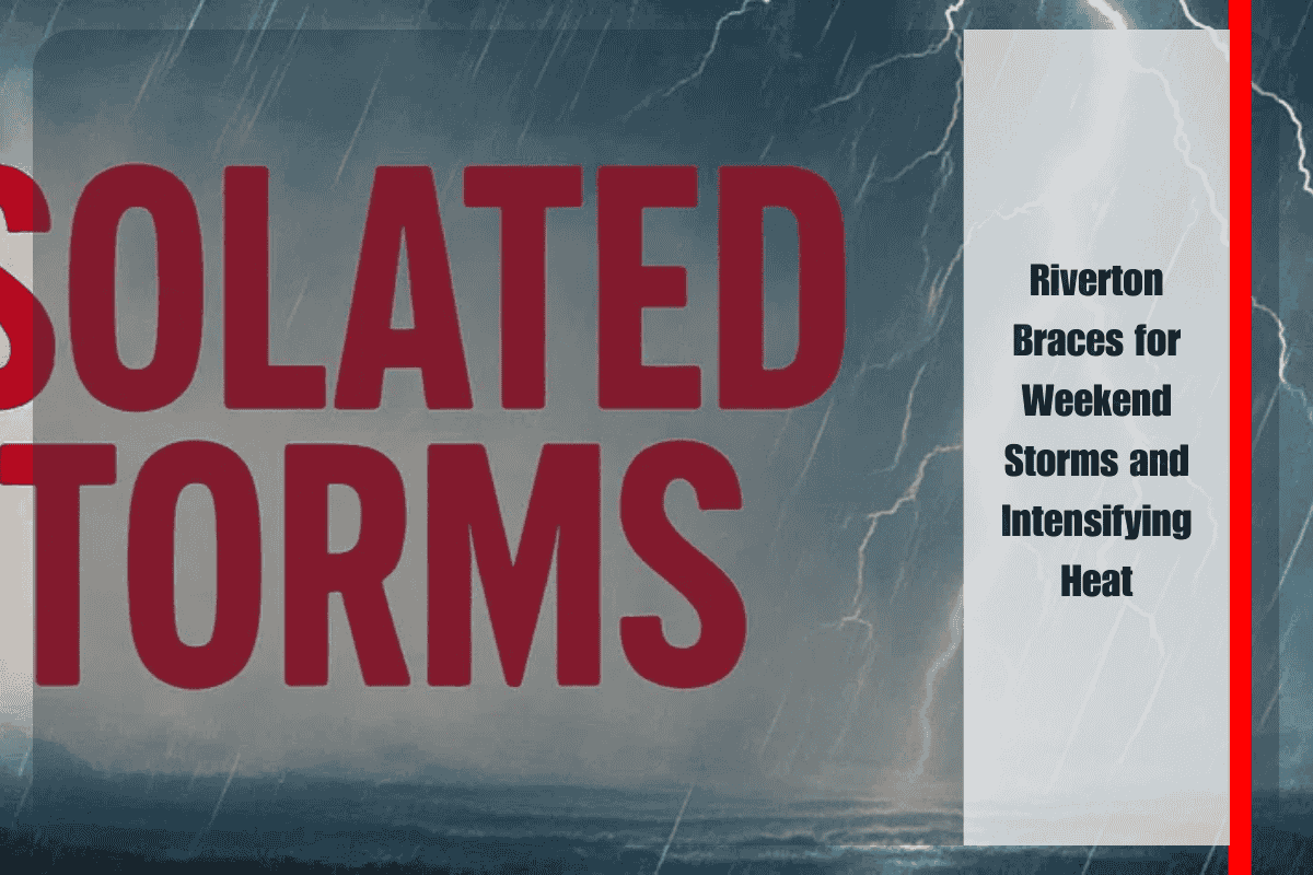
Central Wyoming is set for an active stretch of weather, beginning with scattered thunderstorms Saturday before transitioning into a prolonged period of hot, dry conditions. According to the National Weather Service in Riverton, residents across Fremont County should prepare for a mix of short-lived storm activity and a rapid climb in temperatures that will elevate fire danger through the upcoming week.
Saturday afternoon brings the first round of weather hazards as isolated thunderstorms develop across the region. While rainfall is expected to be hit-or-miss, storms could bring frequent lightning, gusty outflow winds, and brief periods of reduced visibility. The greatest concern lies in lightning strikes and erratic winds, which can spark or spread fires quickly in Wyoming’s dry summer landscape. Showers are expected to taper off overnight, leaving drier conditions by Sunday morning. Travelers along U.S. Highway 26 and Wyoming Highway 789 should be cautious, as sudden storm development could lead to slick roads and blowing dust in open areas.
By Sunday, skies turn mostly sunny and temperatures rise into the lower 90s. The warm-up accelerates into the workweek, with highs reaching 94 degrees on Monday and climbing further to near 98 degrees by Wednesday. The relentless sun, combined with dry air and occasional breezy afternoons, will push fire danger into elevated territory. Local officials are discouraging outdoor burning and urging residents to use extreme caution with campfires, fireworks, and equipment that could generate sparks. Livestock and outdoor workers will also face increased stress under the prolonged heat wave, with hydration and shade becoming essential.
The five-day forecast underscores the rapid shift in conditions. Saturday tops out near 85 with storm chances, but by midweek Riverton will be locked into a hot, dry pattern with highs approaching triple digits. This type of prolonged heat can strain not only human health but also the region’s power grid and water resources. Nighttime lows in the 50s and 60s will provide some relief, but not enough to offset the buildup of daytime heat.
Looking beyond Wednesday, there is some indication that storm chances could return late next week, though confidence remains low. Until then, the dominant threats are tied to lightning on Saturday and elevated fire danger as the heat intensifies through midweek.
Riverton and central Wyoming face a weekend of shifting weather hazards, beginning with isolated storms Saturday that carry risks of lightning and gusty winds. By Sunday, the focus turns squarely to rising temperatures, which will soar into the upper 90s by Wednesday. Residents should remain vigilant against fire risks, take precautions in the heat, and plan outdoor activities during cooler morning hours as the region braces for one of its hottest stretches of the summer so far.


