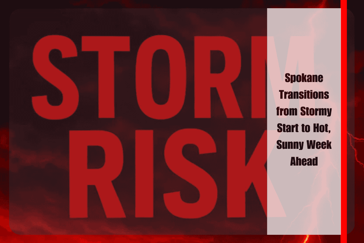
Spokane residents may wake to unsettled skies on Saturday, as showers and thunderstorms move through the Inland Northwest before daybreak and into the morning hours. The National Weather Service reports a 60 percent chance of rain overnight into Saturday morning, with some storms intensifying after 5 a.m. Brief downpours, lightning, and gusty winds could all accompany the activity, though rainfall totals are expected to remain light. Locally heavier showers, however, may briefly reduce visibility on roadways and leave slick conditions across Spokane County.
Winds will add to Saturday’s unsettled feel, with southwest gusts reaching up to 21 miles per hour. Showers are expected to linger through the late morning before tapering off in the afternoon, making for a mixed day of early rain and gradual clearing. With a high near 80 degrees, temperatures will remain comfortable, though conditions could feel a bit cooler under cloud cover and breezy winds. Travelers along I-90 and secondary routes should be alert for sudden heavy rain during the morning commute, while outdoor plans may be best scheduled for later in the day once drier conditions set in.
By Sunday, a new pattern emerges as dry, sunny weather returns to eastern Washington. Highs will climb into the mid-80s, paired with lows in the mid-50s, offering a taste of summer without oppressive heat. The region then transitions into a warm, dry stretch extending through midweek. Monday and Tuesday will feature mostly sunny skies with highs in the mid to upper 80s, pushing toward 90 by Tuesday afternoon. By Wednesday, temperatures hold in the upper 80s, continuing the trend of dry and stable conditions.
While afternoons will grow increasingly hot, nighttime lows dipping into the upper 50s should provide relief, keeping mornings and evenings comfortable. This diurnal temperature swing will be especially noticeable for those living outside the urban core, where cooling is more efficient. Outdoor events, recreation, and travel will benefit from the prolonged dry spell, though residents should prepare for building heat by midweek as highs edge closer to the 90-degree mark.
The extended forecast offers little indication of rainfall beyond Saturday morning, suggesting Spokane is entering a dry phase that could persist into late next week. While this will please those eager for summer sunshine, it also means lawns, gardens, and farmland may begin drying quickly. Residents may need to increase irrigation as the week wears on, especially as daytime highs near or exceed 90 degrees.
Spokane faces a quick shift in weather patterns, starting with unsettled conditions early Saturday before settling into a prolonged stretch of sun and heat. Rain and storms are most likely before noon Saturday, with gusty winds adding to the unsettled feel, but from Sunday onward, summer takes over. With highs in the 80s climbing toward 90 by midweek, residents should enjoy the sunshine while preparing for rising heat and extended dryness across the Inland Northwest.


