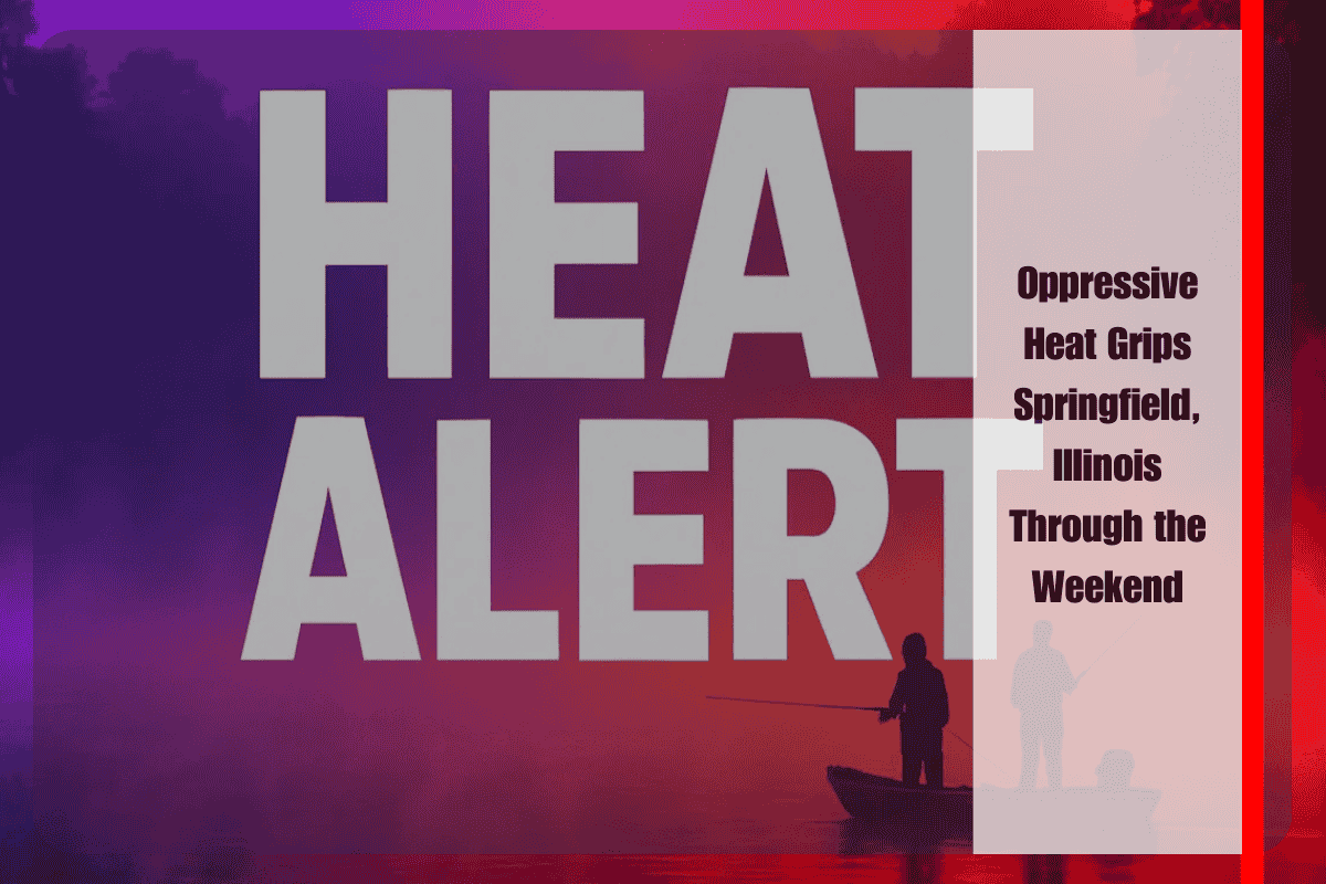
Springfield and much of central Illinois are enduring an oppressive stretch of summer weather, with dangerous heat indices climbing well above 100 degrees each afternoon and evening. The National Weather Service in Lincoln reports that Springfield could see peak heat near 106, placing much of the region under significant stress through early next week.
Saturday begins the extreme pattern, with highs near 97 degrees and humidity pushing heat indices up to 107. Isolated thunderstorms may develop during the late afternoon and evening, though forecasters place the coverage at just 10 to 20 percent. Any storm that does form could deliver sudden downpours, gusty winds, and frequent lightning, offering brief relief from the heat but also the potential for hazards on roadways. Similar conditions are expected Sunday, with highs holding near 97, heat indices peaking near 108, and a slim chance of evening thunderstorms.
The dangerous heat continues into Monday, as temperatures once again approach 97 degrees with oppressive humidity driving “feels-like” readings near 106. These prolonged conditions are particularly concerning for outdoor workers, commuters, and those without reliable access to air conditioning. Health officials strongly urge residents to avoid strenuous activity during the hottest hours of the afternoon, drink plenty of water, and check on elderly neighbors or those with chronic health conditions. Authorities also stress the importance of never leaving children or pets in vehicles, as interior car temperatures can rise rapidly in such extreme heat.
Relief begins to appear on Tuesday, when a weak frontal boundary is expected to move into the region. Highs will still reach into the mid-90s, with a heat index near 103, but scattered thunderstorms become more likely, offering the potential for cooling rains and a gradual transition out of the extreme pattern. By Wednesday, the front is expected to push through more fully, allowing temperatures to fall back into the mid-80s. Humidity levels will also decrease, creating a far more comfortable environment across Springfield, Decatur, Bloomington, and nearby communities.
Despite the promise of midweek relief, the days ahead will remain difficult. Power demand is expected to stay high as air conditioning usage surges, and officials caution residents to prepare for possible outages if storms develop and disrupt infrastructure. Emergency managers may extend or adjust heat advisories as conditions evolve, particularly if storm coverage remains limited through the weekend.
Springfield and central Illinois face several days of extreme heat, with temperatures in the upper 90s and heat indices consistently above 105. While isolated storms may pop up, they will not be widespread enough to break the dangerous pattern until Tuesday, when a weak front begins to bring more consistent rain chances and cooler air. By Wednesday, highs near 84 and lower humidity should finally provide meaningful relief, but until then, residents are urged to remain cautious, prioritize hydration, and follow heat safety guidelines to reduce the risk of illness or emergency.


