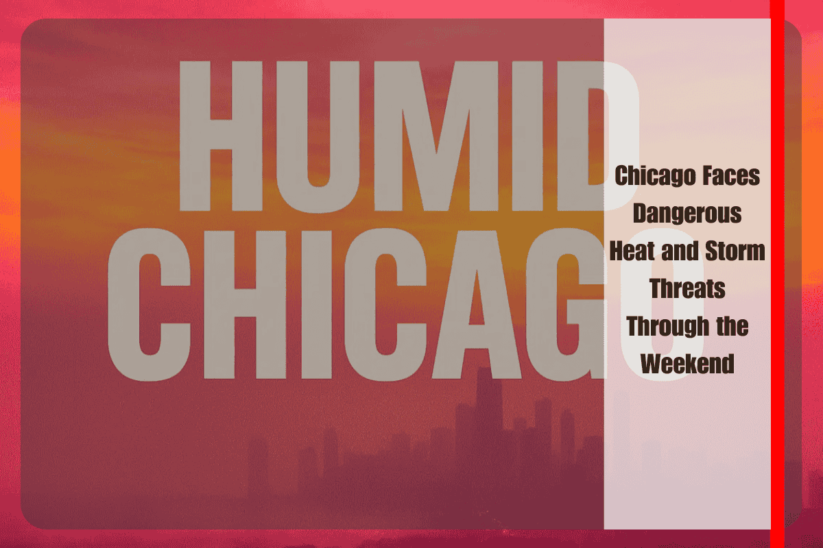
Northern Illinois, including the Chicago metro area, is bracing for a volatile weather weekend marked by extreme heat and rounds of strong thunderstorms. The National Weather Service in Chicago has issued warnings for both oppressive heat and storm potential, with conditions expected to challenge outdoor activities, travel, and even infrastructure stability.
Saturday presents the most dangerous combination of weather hazards. Afternoon highs are forecast to climb into the upper 80s and low 90s, but with humidity factored in, heat indices may surge to between 105 and 110 degrees, particularly south of Interstate 80. This level of heat places residents at significant risk of heat exhaustion and heat stroke, especially during peak afternoon hours. Officials are urging residents to limit time outdoors, hydrate frequently, and seek air-conditioned environments whenever possible.
As the heat builds, the atmosphere becomes increasingly unstable. By mid-afternoon Saturday, forecasters expect a cluster of storms to ignite across Wisconsin and rapidly push south into Illinois. Damaging winds and torrential rainfall will be the primary hazards, though the threat of flash flooding rises if storms track repeatedly across the same communities. Additional storms are possible after dark, extending the risk window well into Saturday night. Chicago, Joliet, and Kankakee may see only brief relief when storms pass, as oppressive humidity lingers even after downpours.
By Sunday, temperatures moderate slightly, with highs ranging from the upper 70s to upper 80s across northern Illinois. However, storm chances persist, and any storm development could still produce heavy rain and brief gusty winds. The unsettled pattern continues into Monday and Tuesday, with highs climbing back into the upper 80s and low 90s. Scattered storms will remain a daily possibility, keeping conditions unpredictable for outdoor plans.
The most welcome change arrives by Wednesday, when cooler and less humid air sweeps across the region. Forecast highs drop into the mid-70s to low 80s, providing a break from the prolonged stretch of dangerous heat and storm activity. For many, this shift will offer a much-needed reprieve after days of disruptive weather.
Travelers and commuters should remain on alert, especially along major interstates such as I-55, I-80, and I-90, where sudden downpours and high winds may create hazardous driving conditions. Residents are advised to keep mobile devices charged in case of power outages and to monitor local alerts for severe thunderstorm warnings or flash flood advisories.
Chicago and northern Illinois face a dual threat this weekend: dangerous heat during the day and the risk of severe storms by afternoon and evening. While Sunday offers modest relief in temperatures, storm chances linger into early next week. The eventual arrival of cooler, drier weather on Wednesday will mark the end of this hazardous stretch, but until then, preparation and caution remain essential for communities across the region.


