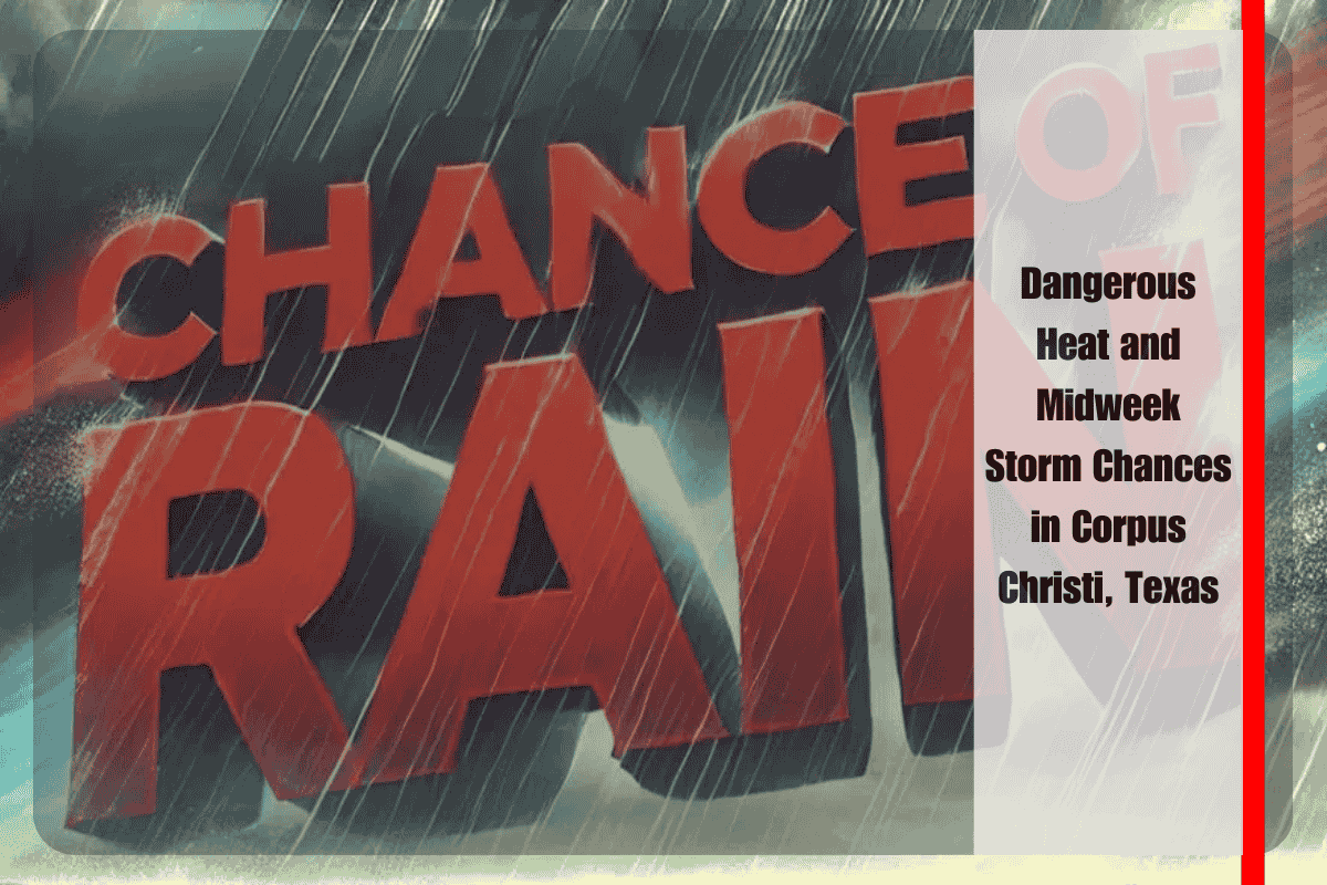
Corpus Christi and much of South Texas are bracing for another round of dangerous summer heat this week, as afternoon temperatures soar into the upper 90s and low 100s. Combined with climbing humidity, heat indices are expected to reach between 105 and 110 degrees, placing stress on both people and infrastructure. According to the National Weather Service in Corpus Christi, the region will also see a gradual increase in storm chances by midweek, offering some relief but also introducing new risks.
The week begins with mostly sunny skies and intense heat. On Sunday, highs will range from 91 to 105 degrees, with only a minimal chance of rain. By Monday, similar conditions will persist, though isolated showers could develop, bringing brief and localized relief. However, the main weather story continues to be the oppressive heat, which will peak during afternoon hours. Officials are warning residents to limit time outdoors, particularly for strenuous activities, and to take precautions such as staying hydrated, seeking shade, and checking in on elderly neighbors or those without access to air conditioning.
The situation begins to shift on Tuesday, as scattered showers and thunderstorms become more likely, particularly across the Victoria Crossroads. Rain chances will increase to between 20 and 45 percent, and some storms could bring heavy downpours. While this rainfall may ease the heat temporarily, it also poses hazards for drivers, with lowered visibility and slick roads possible during bursts of rain.
By Wednesday and Thursday, the best opportunities for storms arrive. Forecast models indicate 20 to 40 percent storm coverage across the Coastal Plains on Wednesday, expanding inland and strengthening into Thursday, when rain chances rise to 30 to 50 percent. These storms could deliver locally heavy rainfall, brief gusty winds, and even isolated power outages if stronger cells develop. While the additional cloud cover and rain may moderate afternoon highs slightly, the overall environment remains hot and humid, and dangerous heat continues to be the primary concern.
Residents of Nueces, Victoria, and San Patricio counties in particular should remain on alert. Drivers may encounter sudden downpours during commutes, and utility crews may be called into action if lightning or strong winds lead to outages. City officials have noted that cooling centers could be opened should conditions worsen, ensuring vulnerable populations have access to relief. Public safety announcements emphasize the importance of preparation, encouraging people to plan outdoor activities for mornings or evenings when conditions are less severe.
South Texas faces a challenging week of high heat and growing storm chances. While rain will become more widespread by midweek, offering brief respite from the dangerous heat, storms themselves carry risks of heavy rainfall and potential power disruptions. The five-day forecast highlights the persistent nature of this weather pattern: Sunday remains mostly sunny with minimal rain, Monday adds isolated showers, Tuesday brings increasing storms to the Victoria Crossroads, and Wednesday into Thursday sees the greatest storm coverage across the region. Despite the storms, residents should not let their guard down, as high humidity and temperatures near or above 100 degrees will continue to make outdoor conditions hazardous. Staying informed, hydrated, and cautious will be key to weathering this stretch of dangerous South Texas summer weather.


