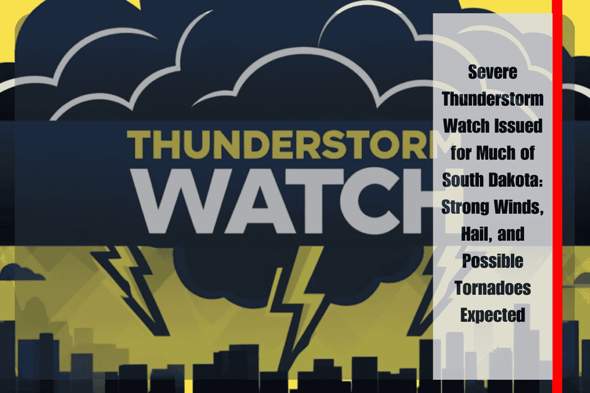
Pierre, SD – The National Weather Service (NWS) has issued Severe Thunderstorm Watch 588 for much of South Dakota, as potentially dangerous storms are expected to develop across the region on Wednesday afternoon and evening. The watch, which remains in effect until 10 p.m. MDT, covers a large swath of counties, including Bennett, Brule, Butte, Charles Mix, Custer, Fall River, Gregory, Haakon, Hughes, Jackson, Jones, Lawrence, Lyman, Meade, Mellette, Oglala Lakota, Pennington, Stanley, Todd, Tripp, and Ziebach.
The NWS Storm Prediction Center, based in Norman, Oklahoma, has warned that severe storms could bring wind gusts exceeding 60 mph, large hail, and frequent lightning. While isolated tornadoes remain a possibility, the primary threats will be damaging winds and hail. Meteorologists attribute the severe weather risk to an unstable air mass across the region, combined with the passage of a cold front that is expected to fuel storm development throughout the evening.
Residents are urged to stay vigilant and monitor local forecasts, as well as to have multiple ways to receive weather alerts. It is crucial to be prepared to take shelter should a warning be issued for your area. Given the severity of the storms expected, outdoor activities—especially in rural and open areas—should be postponed until the weather clears.
Travelers should exercise caution, as heavy rain accompanying the storms could significantly reduce visibility and lead to water pooling on roadways. Those on the roads, especially in areas with open spaces, are advised to stay alert for rapidly changing weather conditions. The potential for localized flooding is a concern, particularly in areas prone to drainage issues.
While the storms are expected to weaken and shift eastward late Wednesday night, forecasters caution that scattered showers may persist into the early hours of Thursday morning. As conditions improve, the threat of severe weather will decrease, but the situation should continue to be monitored throughout the evening.
For now, the key risks remain high winds, large hail, and the possibility of tornadoes. Localized damage, such as downed tree limbs and power outages, is possible, so residents should ensure that they are prepared with emergency supplies, including flashlights, batteries, and charged mobile devices.
The NWS has also emphasized the importance of having a reliable way to receive weather updates throughout the storm, as conditions can change quickly. Emergency alerts and updates from local officials will provide critical information should the situation evolve.
As always, the safety of residents is the top priority, and the NWS recommends taking all necessary precautions, especially as the stormy conditions intensify throughout the day.


