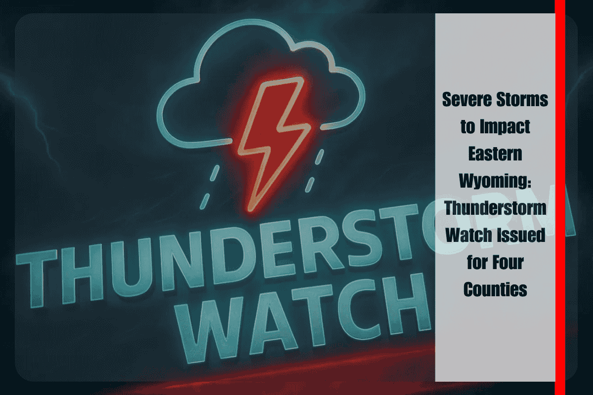
Cheyenne, Wyoming – A Severe Thunderstorm Watch has been issued for four counties in eastern Wyoming, as severe weather is expected to rattle the region through Wednesday night. The watch, which is set to remain in effect until 10 p.m. MDT, affects Converse, Crook, Niobrara, and Weston Counties, with the National Weather Service (NWS) warning residents to be prepared for strong winds, hail, and the potential for significant localized impacts.
The storms developing in this area are forecast to bring damaging wind gusts that could exceed 60 mph, along with hail reaching up to one inch in diameter. The storm activity is anticipated to be especially intense during the evening hours, with the strongest winds and heaviest precipitation expected to peak before 9 p.m. Localized flooding and hazardous travel conditions are also a concern, particularly along major highways such as U.S. Highway 20 and Interstate 25.
The NWS advises residents in the affected counties to be cautious during outdoor activities and to avoid evening travel if possible. The powerful gusts associated with these storms have the potential to knock down tree limbs and power lines, which could result in power outages and road hazards. Drivers are urged to stay alert for falling debris and take extra care if driving in the area.
The National Weather Service has also recommended that residents secure loose outdoor items, such as patio furniture and garbage cans, which could become dangerous projectiles in high winds. Additionally, it’s important to ensure that mobile devices are fully charged and ready for use in case of power disruptions. Residents should also stay tuned to local news and weather alerts for updates, as conditions could change rapidly, and further warnings may be issued if storms intensify.
At this time, no tornado warnings are in effect, but isolated storm cells are possible and could quickly escalate into more severe weather. The NWS has noted that although tornadoes are not currently anticipated, the possibility for tornado development remains if conditions continue to worsen. The situation is being closely monitored, and emergency alerts may follow if storm conditions become more dangerous.
The current Severe Thunderstorm Watch is in place until late Wednesday evening, but the potential for severe weather could extend into the overnight hours. Should the storms redevelop, additional alerts may be issued, and residents are urged to stay vigilant throughout the evening.
As the severe weather unfolds, the key concern for emergency management and residents alike will be preparedness. High winds, hail, and power outages are among the primary threats. Those who live in rural or vulnerable areas should consider moving to more secure shelter if needed and ensure that emergency kits and supplies are readily available. The National Weather Service’s Storm Prediction Center continues to monitor the region’s conditions, providing updates and issuing necessary warnings as the storm system progresses.


