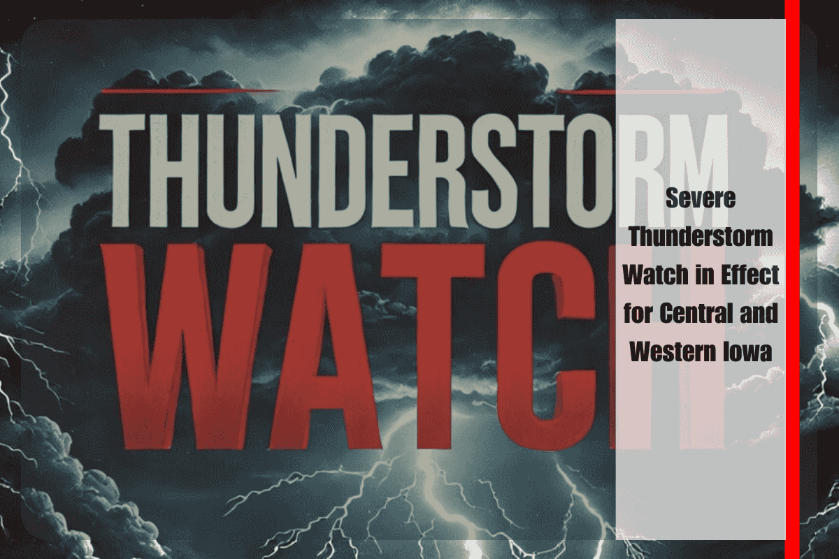
Residents across central and western Iowa are waking up to a severe thunderstorm watch, which remains in effect until noon on Saturday. Storms are expected to bring wind gusts up to 60 mph and hail up to one inch in diameter. The National Weather Service’s Storm Prediction Center issued the watch early this morning for 29 counties, including Polk, Dallas, Carroll, Boone, and Madison.
Storm clusters are already moving northeast across western Iowa, with the potential to strengthen as they track toward the Des Moines metro and surrounding areas. These storms could bring down tree limbs, cause localized power outages, and create hazardous driving conditions due to torrential rain and reduced visibility.
Emergency officials are advising residents to secure outdoor items, avoid travel during peak storm activity, and closely monitor local weather alerts. Lightning will be a significant threat, and anyone outdoors should immediately move to a safe indoor location at the first sound of thunder.
While the watch is in effect until 12 p.m., additional warnings may be issued if the storms intensify. Conditions may remain unsettled throughout the afternoon, with another round of showers possible. Stay informed and take necessary precautions to stay safe during these severe weather conditions.


