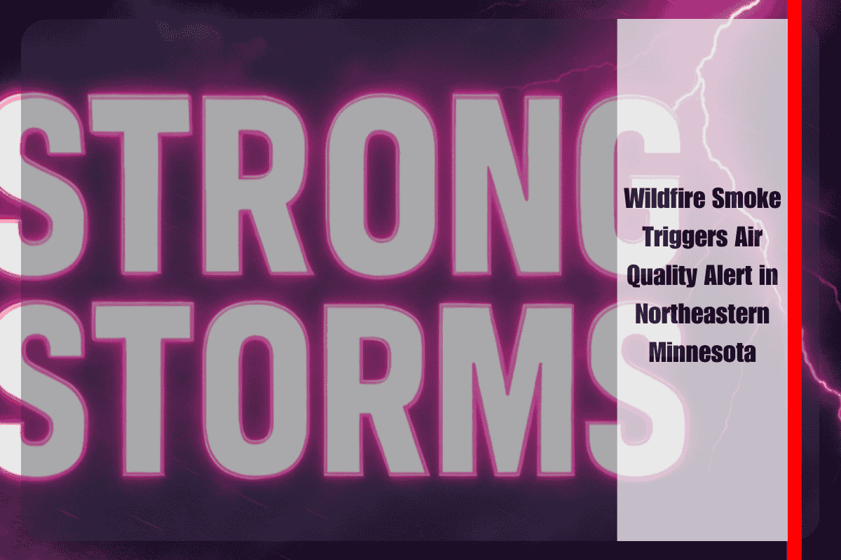
Northeastern Minnesota is experiencing persistent and widespread wildfire smoke, prompting an Air Quality Alert in effect until noon Wednesday. The Minnesota Pollution Control Agency warns that fine particulate pollution, carried northward from fires in Wisconsin and Michigan, is settling over the Northland and significantly reducing air quality across cities including Duluth, Ely, Hibbing, and surrounding areas.
Air quality conditions are expected to remain in the “Unhealthy for Sensitive Groups” category, with the Air Quality Index (AQI) in the orange range. The alert encompasses much of northeastern Minnesota but could extend into southeastern and central parts of the state as smoke continues to drift west and north through midweek.
Health officials urge sensitive individuals—such as those with asthma, chronic heart or lung disease, seniors, and young children—to limit prolonged or heavy outdoor exertion. It’s recommended to stay indoors, use air purifiers if available, and keep windows closed, especially overnight, to prevent indoor smoke accumulation. Outdoor exercise, yardwork, or prolonged exposure to the hazy air should be avoided until conditions improve.
Weather conditions in Duluth will remain relatively calm Tuesday, with hazy skies and light easterly winds. Highs will reach the mid-70s, but areas of smoke are expected to persist into the evening and overnight hours, keeping air quality poor.
On Wednesday, the weather begins to shift, with showers and thunderstorms possible after 1 p.m., especially during the evening hours. Breezy conditions may help disperse some of the lingering smoke, offering brief improvement in air quality. Daytime temperatures will climb to around 78°F.
Thursday brings warmer and mostly dry conditions, with just a slight chance of isolated storms. Highs will reach the low 80s, and smoke impacts are expected to wane, though hazy skies may still be present in some areas.
By Friday, a new weather concern emerges as heat and humidity increase. Temperatures will rise into the upper 80s, and the chance of thunderstorms will return. This marks the beginning of a pattern shift toward heat-driven convective activity, which continues into the weekend.
Saturday will be humid with highs near 87°F, and afternoon thunderstorms are likely, potentially strong at times depending on evolving conditions. While rainfall may offer some relief from wildfire smoke, it also introduces new risks such as lightning and localized flooding.
Air quality is expected to fluctuate through midweek, followed by a transition to summer storm patterns by the end of the week. Additional air quality or severe weather alerts may be issued as conditions evolve.
Five Day Forecast for Duluth, MN:
- Tuesday: Partly sunny, high 75°F. Areas of smoke after 8 p.m.
- Wednesday: Showers and storms possible, breezy. High 78°F.
- Thursday: Partly sunny, isolated thunderstorm. High 83°F.
- Friday: Warm and humid, chance of storms. High 87°F.
- Saturday: Afternoon storms likely. High near 87°F.
Residents are urged to monitor air quality reports and local forecasts closely and take precautions to protect their health as smoke and storm threats evolve throughout the week.


