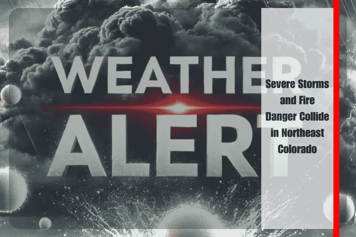
A volatile mix of severe weather and critical fire conditions is bearing down on northeast Colorado this Monday evening, posing a dual threat to communities from the plains to the foothills. The National Weather Service in Boulder warns that severe thunderstorms capable of producing 70 mph winds and large hail may develop along the I-76 corridor, while extreme heat and bone-dry air drive dangerous fire weather across the Front Range.
From Sterling to Akron, isolated but intense storms are expected to form between 5 and 9 p.m., with the potential for rapid intensification due to strong winds aloft and dry surface conditions. The setup could require spotter activation across the northeast plains, where any storm that forms may quickly become severe. The primary threats are damaging wind gusts, large hail, and localized blowing dust, especially near open fields and construction zones. Lightning strikes could also ignite fires in the region’s dry grasses.
At the same time, the combination of record-breaking heat, gusty winds, and single-digit humidity levels is elevating fire risk across the Front Range, especially in foothills and valley locations. Winds are expected to gust through the evening, and any spark could quickly grow into a fast-moving wildfire. Authorities urge residents to avoid outdoor burning, delay power tool use, and secure lightweight outdoor items that could be blown away or damaged by strong winds.
The heat will only intensify in the days ahead. On Tuesday, Denver is forecast to reach 96°F under hazy skies in the morning and mostly sunny conditions later in the day. South winds will shift eastward by the afternoon, potentially carrying smoke from distant wildfires back into the metro area. Wednesday brings more of the same, with a second day of 96°F heat and stronger winds, possibly gusting up to 25 mph, further increasing fire danger.
Thursday may mark the peak of this scorching stretch, as highs approach 99°F in the Mile High City under cloudless skies. Fire weather conditions could become critical once again, particularly in open terrain and dry, grassy areas. Friday follows with continued extreme heat, near 98°F, and little overnight relief as nighttime lows remain elevated. These persistently hot and dry days will place added stress on energy systems and increase the risk of heat-related illness.
Relief may begin to arrive by Saturday as temperatures dip slightly into the upper 80s. However, the break could be short-lived, as isolated afternoon storms are expected to return. While these storms might offer brief cooling, they also carry lightning and gusty outflow winds that could reignite fire concerns if dry fuels remain widespread.
Given the convergence of severe weather and fire danger, northeast Colorado residents are urged to remain weather-aware, especially through Monday evening. Monitor local alerts, prepare for power outages or rapid fire spread, and take all necessary precautions to stay safe during this multi-hazard weather event. Conditions could shift quickly, and both fire and storm impacts may develop with little warning.


