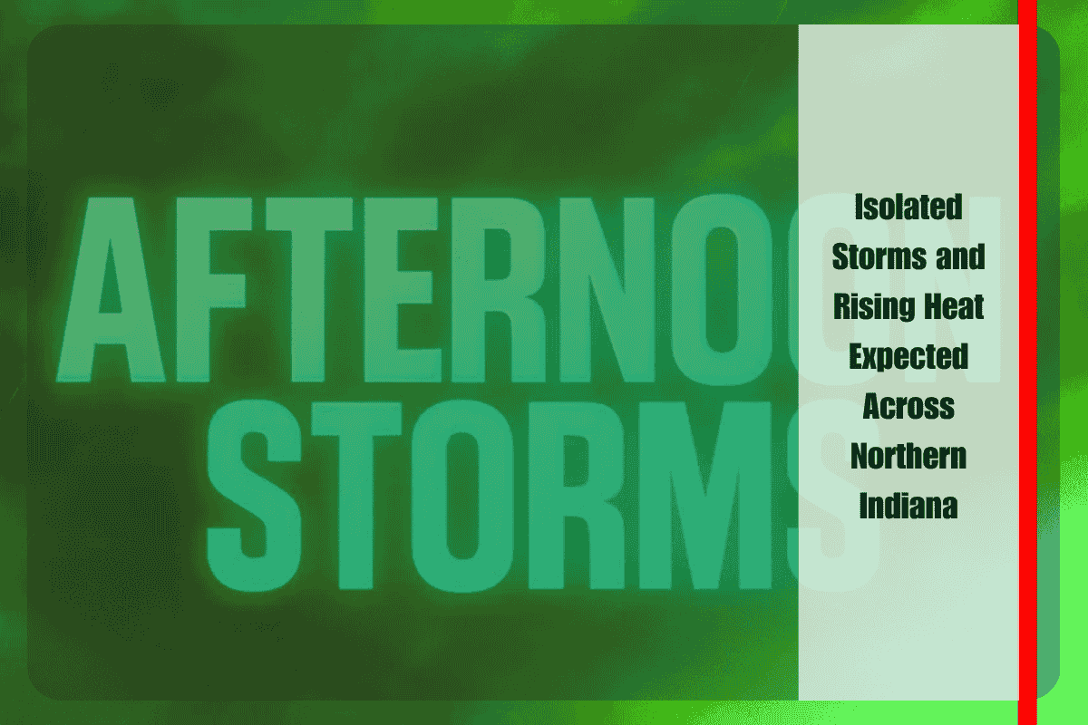
Drivers and residents in Fort Wayne and surrounding areas in Northern Indiana should remain alert for isolated storms this afternoon, particularly in regions located along and south of U.S. Route 30. While the overall weather pattern remains relatively calm and dry for much of the area, there is potential for pop-up showers and brief thunderstorms that could momentarily disrupt travel plans and outdoor activities. These spotty showers are not expected to be widespread but could be locally intense, bringing short-lived downpours or rumbles of thunder.
The National Weather Service office in Northern Indiana has indicated that storm activity will be limited to the southern portions of the region, with counties like Allen, Kosciusko, and Wabash more likely to experience brief weather interruptions. Communities such as Fort Wayne, Warsaw, and Wabash fall within this zone of potential afternoon instability. Drivers traveling along major corridors including U.S. 24 and State Road 15 should be cautious, as any sudden storms may lead to temporary wet road conditions and reduced visibility. While no severe weather is anticipated, isolated storms can produce lightning and slick spots on the pavement, posing a hazard for unprepared motorists.
Despite the chance of storms today, the overall weather forecast for Northern Indiana remains relatively favorable for the middle part of the week. Most locations are expected to stay dry from Tuesday night through Wednesday, under mostly clear skies. Tonight, temperatures will fall into the low to mid-60s, offering comfortable sleeping conditions and a brief overnight respite from the daytime warmth. With the absence of any significant weather systems, the region is in for a warming trend that will gradually raise daily high temperatures through the week.
By Wednesday, daytime highs will climb into the mid-to-upper 80s, ushering in a stretch of increasingly warm weather. This warming trend is projected to continue into Thursday and beyond, bringing with it heightened risks associated with heat exposure. The National Weather Service advises residents to monitor their time spent outdoors, particularly during the peak heat hours of the afternoon. Those with outdoor work, athletic events, or recreational plans should take appropriate precautions by staying hydrated, wearing light clothing, and seeking shade or indoor shelter when possible.
Although the isolated nature of today’s storms means many areas may not see rain at all, it remains important for individuals to stay weather-aware. Conditions can change quickly during the summer months, and even short-lived showers can impact visibility and safety. Smartphone alerts, local radio updates, and weather apps can provide timely notifications if storms do develop in your area.
Looking ahead, the overall pattern favors continued dry weather with little chance for organized rainfall through the end of the week. The lack of significant storm systems means that while pop-up showers may remain possible on isolated afternoons, most of Northern Indiana will see warm, sunny, and stable weather dominate the forecast. As temperatures continue to rise, attention will increasingly turn to managing the heat, particularly for vulnerable populations such as the elderly, outdoor workers, and those without air conditioning.


