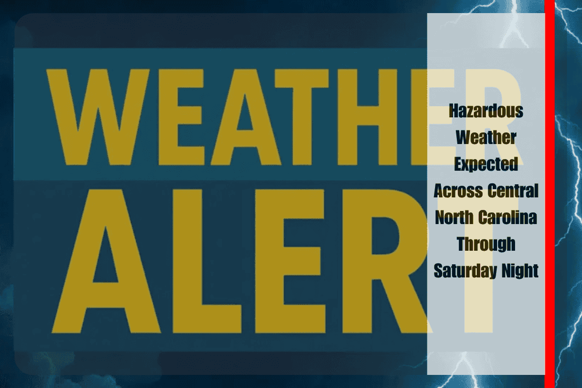
Drivers and residents across central North Carolina, including Raleigh and Durham, are being warned of sudden downpours, isolated severe storms, and potential flash flooding through Saturday night. The National Weather Service in Raleigh has issued a warning for hazardous weather, which could lead to power outages, travel delays, and dangerous conditions, particularly in urban areas.
Flash Flooding and Severe Storm Risks
A Marginal to Slight Risk for excessive rain and severe thunderstorms continues throughout the evening, with the highest risk for flash flooding in low-lying and urban areas. Affected counties include Wake, Durham, Forsyth, Alamance, Davidson, Randolph, and others. Scattered storms may bring brief but heavy rain, gusty winds, and frequent lightning—especially along I-40, U.S. 1, and major local roads. Conditions could deteriorate quickly during the afternoon and evening, making travel dangerous.
Safety Recommendations
Residents are urged to avoid driving through flooded streets and to secure outdoor belongings in case of strong winds. It is also advisable to keep electronic devices charged, as power outages may occur. If thunder is heard, seek shelter indoors immediately and delay outdoor plans. Stay tuned to local weather alerts for possible warnings or advisories.
Forecast and Weather Outlook
The immediate threat of severe weather is expected to ease overnight, although isolated showers could persist into early Sunday. Further updates may follow if new warnings are issued. Here’s the forecast for the upcoming days:
Five-Day Forecast for Raleigh, NC:
- Sunday: Mostly sunny, high near 84°F
- Monday: Slight chance of storms after 2 p.m., high 86°F
- Tuesday: Showers possible after 2 p.m., high 86°F
- Wednesday: Chance of storms, partly sunny, high near 87°F
- Thursday: Showers and storms possible, high near 87°F


