Kansas City residents are enjoying a refreshing break from the intense summer heat this week, as cooler air and cloudy skies have settled over the metro area to close out July. Thursday brought a noticeable shift in the weather pattern, with afternoon highs dipping into the upper 70s, along with light sprinkles and overcast skies. The milder weather offers a welcome change for many across Jackson, Clay, and Platte counties, after several weeks of intense humidity and temperatures in the 90s.
According to the National Weather Service in Kansas City, this cooler, less humid stretch is expected to stick around through Sunday, with temperatures staying comfortably in the mid-70s to near 80°F during the day and dropping to the upper 50s and low 60s at night. These readings are well below the typical seasonal averages, giving the city a sneak peek of early autumn.
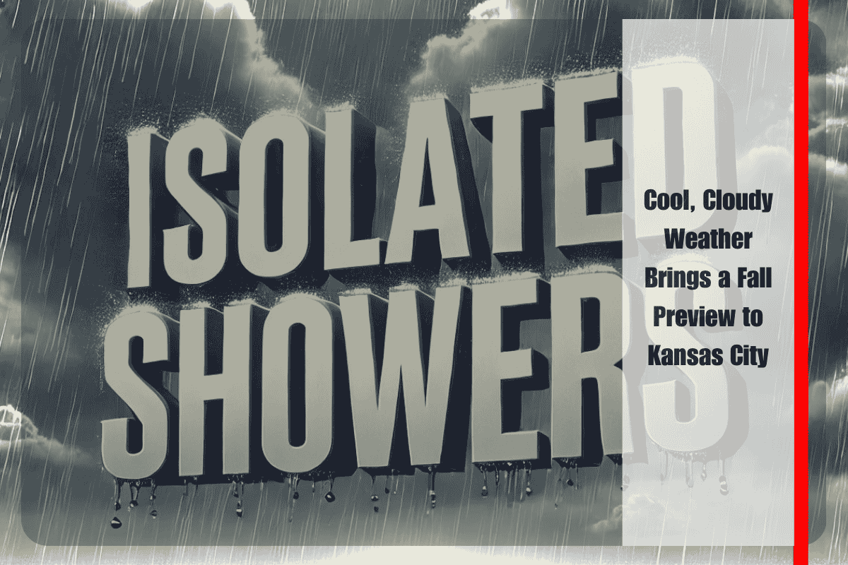
Thursday may see a few scattered sprinkles, but widespread rainfall is not expected. The sky will begin to clear up Friday, bringing mostly sunny skies, ideal for outdoor events, walks, or simply enjoying the fresh air. Saturday will remain partly cloudy, with temperatures rising slightly but still staying pleasant for late July.
Looking ahead to Sunday, residents should prepare for a chance of scattered showers, especially during the afternoon and evening. While this won’t be a washout, some rain could make roads slick, particularly along I-70 and I-35, potentially affecting late-weekend travel plans. Showers may continue into early Monday, before a warming trend begins to push temperatures back toward the upper 80s by midweek.
The temporary cooldown provides a great opportunity for people to get outside without battling the usual summer heat. Whether it’s backyard barbecues, sports, or festivals, this weather is just right for enjoying all that Kansas City has to offer. It’s also a good time for yard work or home projects that may have been too uncomfortable during hotter days.
As temperatures are expected to rise again starting Monday, this brief period of cooler air won’t last long. By the middle of next week, daytime highs will likely return to the upper 80s, along with increasing humidity, reminding everyone that summer isn’t over just yet.
In the meantime, residents are encouraged to make the most of this mild spell and stay tuned to local weather updates, especially on Sunday, when rain may return. If you’re planning travel or outdoor activities that day, keep an eye on weather advisories for potential updates related to wet road conditions or isolated thunderstorms.
This cooler weather may feel like a preview of fall, but August is still ahead, and the heat is expected to make a comeback soon. Until then, Kansas City can enjoy this rare stretch of comfort before summer returns in full swing.


