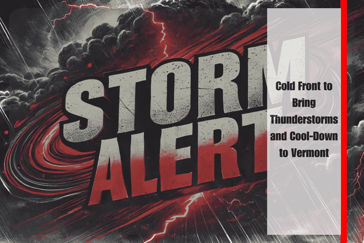
Burlington, VT – A strong cold front is set to bring thunderstorms and a noticeable cool-down to Vermont starting Wednesday, offering residents a much-needed break from the recent summer heat. The National Weather Service in Burlington is advising communities across the region to prepare for wet weather and a sharp temperature drop.
Thunderstorms and Wet Weather Expected
While the day will remain mostly dry, by Wednesday morning, showers and scattered thunderstorms will begin moving across Burlington, Montpelier, Springfield, and Plattsburgh. Commuters traveling along I-89 and US-2 may encounter wet conditions during their morning drives. Localized downpours and gusty winds are expected in areas like Saranac Lake and Massena, with the heaviest rain expected from midday through the evening.
Potential Hazards and Safety Tips
The National Weather Service warns that roads could become slick during heavy rainfall, and residents should keep their devices charged in case of brief power outages. With the cold front moving through, temperatures will drop sharply, and afternoon highs are expected to remain below 80°F from Thursday onward, bringing much-needed relief for anyone struggling with the recent heat.
Cool-Down Brings Relief
This cold front marks the first widespread cooldown for late July, a pattern similar to what was seen last August. This drop in temperatures will be a welcome change for outdoor workers and anyone without air conditioning. Schools and summer camps should stay alert for thunderstorm warnings and consider adjusting outdoor plans to avoid potential hazards.
Looking Ahead
While the weather will be cooler, unsettled conditions may persist into the first days of August. The National Weather Service warns that further advisories could be issued if the storms intensify. Stay tuned for more updates as cooler weather takes over the region.


