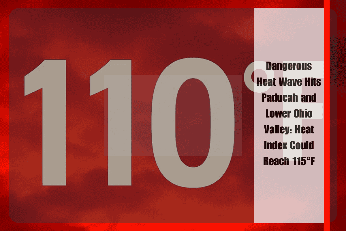
A prolonged and intensifying heat wave is sweeping across the lower Ohio Valley, bringing dangerously high heat index values of 110°F to 115°F to Paducah, Kentucky, and surrounding areas early next week. The National Weather Service in Paducah has issued a Heat Advisory in effect through 7 p.m. CDT Sunday, with daytime heat index values ranging from 100°F to 110°F. An Extreme Heat Watch will begin Monday afternoon and continue through Tuesday evening, as conditions are expected to become even more hazardous.
Weather Impact and Safety Tips
Cities like Paducah, Cape Girardeau, Evansville, and Mount Vernon will face intense heat, with little overnight relief. Sunday will be especially hot, with heat index values exceeding 105°F in multiple counties, including Ballard, McCracken, Williamson, and Vanderburgh. In Jefferson County, Indiana, and the Louisville metro area, temperatures could feel as high as 105°F until Sunday evening.
Although isolated thunderstorms may bring brief relief to some areas this weekend, it will be limited and localized. The primary concern remains the extreme heat, which can quickly lead to heat-related illnesses such as heat exhaustion and heat stroke.
What to Do and What to Expect
Residents are strongly encouraged to limit outdoor activity, drink plenty of fluids, and avoid leaving children or pets in vehicles, as car interiors can heat up to dangerous levels within minutes. Cooling centers may open in affected counties if conditions worsen on Monday, offering a safe place to escape the intense heat.
The Extreme Heat Watch could be upgraded to a Warning if conditions intensify, so it’s important to monitor local alerts and take necessary precautions now to protect yourself and others.
Extended Forecast
The extreme heat will persist into the start of the week, with little relief expected until midweek.
Five-Day Forecast for Paducah and Surrounding Areas:
Sunday, July 27th: Highs near 95°F, heat index over 105°F, with isolated thunderstorms.
Monday, July 28th: Highs near 98°F, heat index 110°F–115°F, isolated thunderstorms possible.
Tuesday, July 29th: Highs near 100°F, heat index 110°F–115°F, minimal relief.
Wednesday, July 30th: Highs near 95°F, heat index still high, but with a slight chance of relief from thunderstorms.
Thursday, July 31st: Highs near 92°F, with slightly lower temperatures and more widespread storm chances.
With dangerously high temperatures and heat indices expected to remain above 100°F for several days, it’s crucial for residents in Paducah, Cape Girardeau, Evansville, and surrounding areas to take precautions. Stay hydrated, limit outdoor activities, and stay informed about the latest weather updates. The risk of heat-related illnesses is high, so prioritize your safety and well-being during this extreme heat wave.


