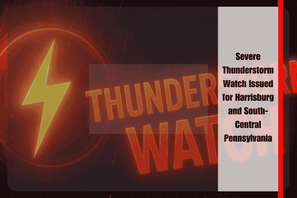
Strong thunderstorms capable of producing damaging winds and large hail are sweeping across south-central Pennsylvania this Friday evening, prompting a Severe Thunderstorm Watch through 9 p.m. The National Weather Service in State College has issued Severe Thunderstorm Watch 542 for eight counties, including Adams, Cumberland, Dauphin, Lancaster, Lebanon, Perry, Schuylkill, and York. Cities at risk include Harrisburg, Gettysburg, York, Hershey, and Pottsville.
Weather Impacts and Safety Tips
Residents are urged to prepare for rapidly changing conditions, particularly between 5 and 8 p.m., when the strongest cells are expected to track northeast. Wind gusts over 60 mph and quarter-size hail are possible, which could cause significant damage. Downed trees and power outages are likely, which could affect travel along major roads such as I-81, U.S. 15, and Route 30.
If you’re outdoors, seek shelter indoors immediately, as these storms can develop quickly and be severe. Local emergency managers recommend securing loose outdoor items, charging electronic devices, and avoiding unnecessary travel during the peak storm window.
What to Expect
The Severe Thunderstorm Watch is set to expire at 9 p.m., but given the nature of the storms, additional warnings could be issued as conditions evolve. Continue monitoring local alerts and NOAA weather radio for real-time updates on the situation.
With damaging winds, large hail, and the potential for downed trees and power outages, it’s important for residents in the affected areas to stay vigilant and prepared. Keep an eye on weather updates and take appropriate precautions to stay safe during this severe storm event.


