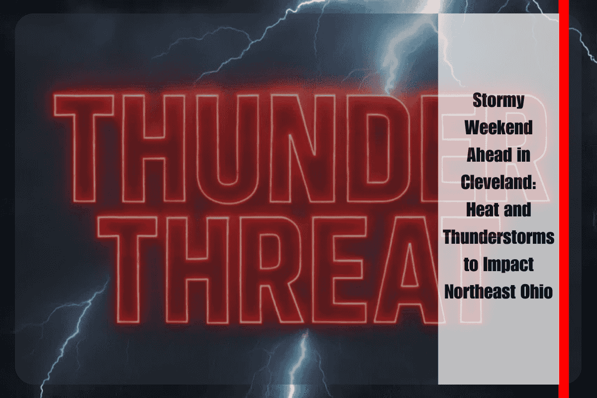
Stormy skies and summer heat will combine across northeast Ohio this weekend, with temperatures soaring into the 80s and heat indices approaching the low 90s from Saturday through Sunday night. The National Weather Service in Cleveland has forecast scattered showers and thunderstorms throughout the weekend, with the highest chances of rain (60–75%) expected Saturday evening into early Sunday, particularly across cities like Elyria, Mansfield, and Youngstown.
Weather Impact and Safety Tips
Some storms could bring gusty winds and heavy downpours, especially on Saturday night. Akron-Canton to Toledo residents can expect high humidity, with temperatures holding steady in the mid to upper 80s. Cleveland will likely reach 85°F on both Saturday and Sunday, making outdoor plans difficult, especially in the afternoons and evenings when the risk of pop-up storms is highest.
Drivers should be prepared for slick roads during peak storm windows, especially along I-80 and Route 30. Local authorities are urging residents to avoid flooded roadways, secure outdoor items that may be blown away, and prepare for possible power outages if strong storms develop.
Weekend Outlook and Extended Forecast
The unsettled weather pattern will continue into early Monday, with scattered light rain possible before a drier trend sets in midweek. The National Weather Service may issue additional watches or warnings if storm severity increases.
Here’s the Five-Day Forecast for northeast Ohio:
Friday Night: Muggy with lows in the low 70s, isolated showers possible.
Saturday: Highs in the mid-80s, with a 60–75% chance of storms by evening.
Sunday: Continued storm chances with highs in the upper 80s.
Monday: Mostly cloudy with morning showers, highs in the low 80s.
Tuesday: Drier with partly sunny skies, highs near 82°F.
While the weekend will bring summer heat and thunderstorms, it’s important to stay informed of changing weather conditions. Prepare for possible disruptions to outdoor activities, be cautious on the roads, and take steps to stay safe if severe weather strikes. The drier weather midweek will offer a welcome break from the unsettled pattern. Stay tuned to the National Weather Service for updates throughout the weekend.


