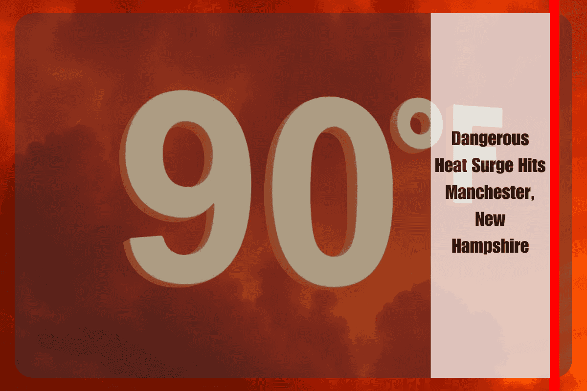
Manchester, N.H. – A blistering surge of summer heat is set to blanket southern New Hampshire on Thursday, July 24th, with the heat index soaring to near 97°F in Manchester. This extreme weather is making travel along I-293 particularly hazardous for anyone unprepared. As temperatures rise, local officials are urging residents to take immediate precautions, as the heat is expected to intensify into Friday.
According to the National Weather Service, heat indices are expected to climb into the mid to upper 90s starting Thursday afternoon, with the risk peaking on Friday when the combination of hot and humid air could push conditions to near record-breaking levels. The Manchester metro area and Hillsborough County are at the greatest risk, particularly for those spending extended time outdoors or commuting on major roadways like I-293. Health officials are advising everyone to limit strenuous outdoor activity, stay hydrated, and check on vulnerable neighbors, especially the elderly or those without reliable cooling.
Unfortunately, southwest winds will provide little relief, and utility providers have warned that energy demand could surge as air conditioners work overtime. Schools, childcare centers, and outdoor workers are encouraged to review their heat safety protocols. Residents should also avoid leaving children or pets in vehicles, even for short periods, as the heat can quickly become life-threatening.
By Friday night, a line of thunderstorms and showers is expected to move through, possibly bringing a brief relief from the heat before more partly sunny and warm weather returns on Saturday. Some scattered showers could linger into Sunday, but Monday and Tuesday are expected to bring mostly sunny conditions with less humidity.
Five-Day Forecast for Manchester, NH:
Thursday, July 24: Sunny and hot, with a high of 93°F. Heat index could reach 96°F. Southwest winds of 5–10 mph, gusting up to 20 mph.
Friday, July 25: Showers and thunderstorms likely after 2 p.m., continuing into the evening. High near 97°F, with a 60% chance of precipitation.
Saturday, July 26: Partly sunny, high of 85°F. Mostly cloudy overnight, low of 63°F.
Sunday, July 27: 30% chance of showers after 2 p.m., partly sunny with a high near 81°F.
Monday, July 28: Mostly sunny, high of 85°F, with clear skies overnight, low of 65°F.
As the heat advisory continues, residents are advised to stay informed of changing weather conditions, take necessary precautions, and prioritize their health and safety throughout this dangerous heat wave.


