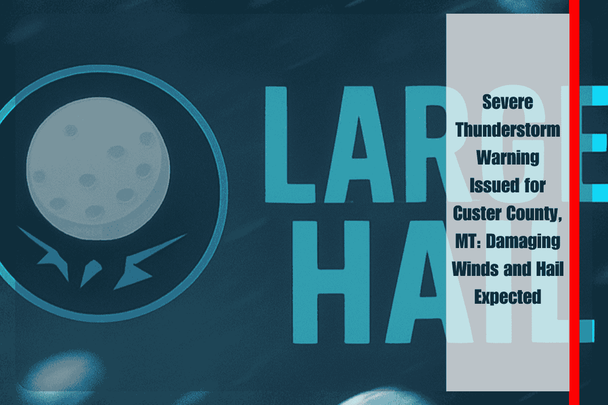
Residents of Custer County are urged to seek immediate shelter as severe thunderstorms move through the region this evening. The National Weather Service in Billings has issued a Severe Thunderstorm Warning, bringing a significant threat of damaging winds and large hail.
Storm Details and Affected Areas
The Severe Thunderstorm Warning is in effect until 7:30 p.m. Monday. At 6:41 p.m., radar detected severe thunderstorms forming along a line from 23 miles north of Miles City to 14 miles northwest of Broadus, moving east at 35 mph. The storms are expected to bring hazards such as wind gusts up to 70 mph and hail up to 1.5 inches in diameter, roughly the size of ping pong balls.
Potential Impacts and Risks
The storm could cause significant damage, including injuries to people and animals outdoors, damage to roofs, siding, windows, vehicles, and extensive tree damage. Mobile homes, outbuildings, and other vulnerable structures are at an elevated risk. Areas most at risk include Miles City, Mizpah, Strawberry Hill Recreation Area, Twelve Mile Dam, Locate, Matthews Recreation Area, Knowlton, and Garland.
Safety Recommendations
The National Weather Service advises all residents to immediately move indoors to a well-constructed building and avoid windows. With torrential rainfall expected, the storms may also lead to flash flooding. Drivers are strongly urged not to travel through flooded roadways as conditions can change rapidly.
The Severe Thunderstorm Warning remains active as the storms continue to progress through the area, with dangerous conditions expected until at least 7:30 p.m. Residents should stay informed and take necessary precautions to ensure their safety. For real-time updates and more information, visit the National Weather Service Billings website.


