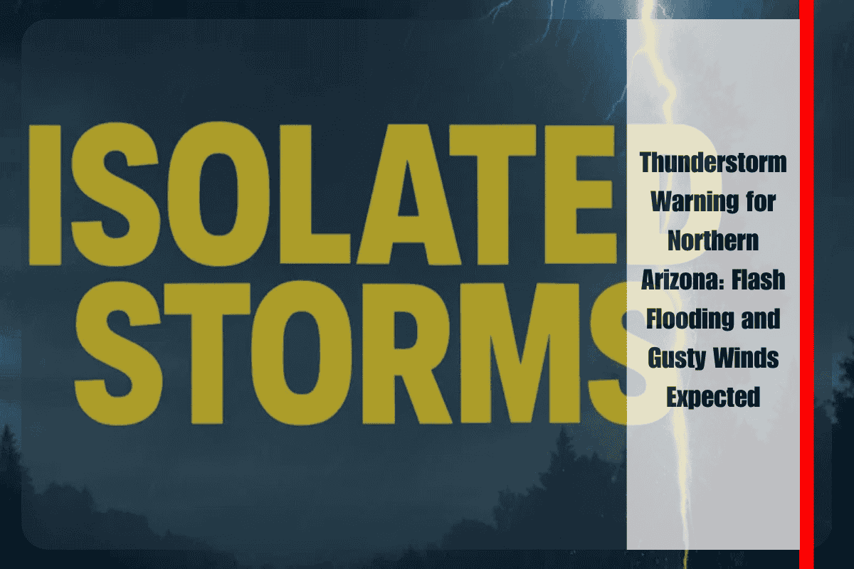
Northern Arizona residents are being advised to stay alert today as scattered thunderstorms are set to impact the region, bringing gusty winds and a risk of flash flooding. The National Weather Service (NWS) in Flagstaff has issued warnings for communities like Flagstaff, Sedona, and Prescott, as storms are expected to develop between 1 p.m. and 8 p.m. Friday.
Weather Hazards and Flash Flood Threat
The primary threat from these storms includes isolated flash floods and strong wind gusts, which could exceed 45 mph. Flash flood watches have been issued for Yavapai and Coconino Counties, where rain may quickly accumulate and overwhelm drainage systems. Localized flooding is possible in urban and rural areas, especially along steep roads and areas with poor drainage.
Safety Tips for Drivers and Residents
For those traveling along major roads like Interstate 17 and Highway 89A, sudden downpours could reduce visibility, making driving hazardous. Cities like Sedona, known for their steep roads, may see rockslides triggered by heavy rainfall. Drivers are urged to proceed with caution and avoid travel if conditions worsen.
With afternoon temperatures reaching triple digits in Phoenix, residents are also reminded to stay hydrated and avoid unnecessary outdoor activities during peak heat hours. If you must travel, make sure your emergency preparedness kit is ready, and keep updated with weather alerts from local authorities.
Post-Storm Conditions and Continued Vigilance
While storm chances will lessen after sunset, isolated showers and scattered thunderstorms could continue into late Friday night. As weather conditions can change rapidly, residents are encouraged to remain vigilant throughout the evening and monitor any new advisories or updates from local authorities.
Northern Arizona will experience a series of storms today, with flash flooding and gusty winds as the main concerns. Stay informed and be prepared for changing conditions to ensure your safety throughout the day and into the evening.


