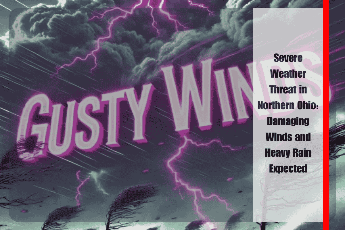
On Saturday, July 19, residents of northern Ohio should be prepared for potential severe weather, including damaging wind gusts and heavy rainfall. According to the National Weather Service (NWS) in Cleveland, there is a “Slight Risk” (Level 2 of 5) for severe weather in cities such as Cleveland, Sandusky, Elyria, and Toledo. The threat is expected to last from the afternoon into late at night.
Severe Weather Risks: What to Expect
The NWS has warned that the greatest threats from this storm include isolated to scattered thunderstorms that could cause damaging winds, localized flooding, and the possibility of hail. The first round of storms is expected by mid-afternoon and could be especially intense.
The affected area stretches across north-central and northeast Ohio, including cities like Mansfield, Ashland, and Lorain. These areas may experience fast-developing storms, and while the exact timing of these storms is uncertain, multiple rounds of severe weather are anticipated—especially during the late afternoon and again overnight.
Precautionary Measures to Take
To stay safe, residents are advised to secure outdoor items to prevent them from being blown away by strong winds. Avoiding travel during peak storm hours is also crucial, as the severe weather could cause delays or hazards. Be prepared for possible power outages and tree damage due to the strong wind gusts. Those who are camping or planning to attend outdoor events on Saturday should have a shelter plan in place.
The National Weather Service will continue to monitor the situation and issue updates as storm models develop. It is important to stay tuned to local alerts and NOAA Weather Radio for the latest warnings.
Northern Ohio residents should remain on alert for the possibility of severe weather on Saturday. Strong winds, heavy rain, and the potential for hail could lead to hazardous conditions. Keeping up with the latest weather information and taking necessary precautions can help keep everyone safe.


