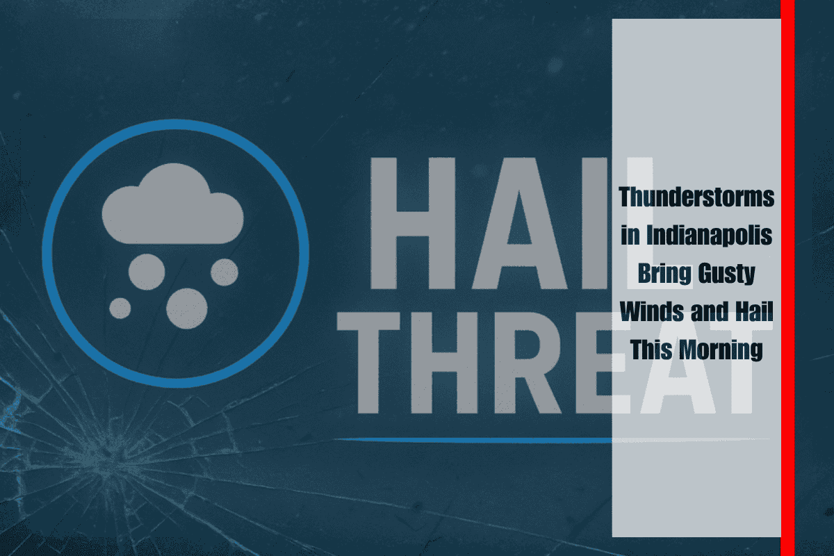
Scattered thunderstorms are moving across central Indiana this Thursday morning, bringing brief downpours, gusty winds, and the potential for small hail. These storms are likely to affect the morning commute, particularly in several counties across the region.
According to the National Weather Service in Indianapolis, the storms are tracking eastward and will continue through late morning. As of 5:40 a.m. EDT, the heaviest activity was centered around Bloomington, Spencer, and Terre Haute. Hazards include wind gusts up to 40 mph, water ponding on roads, cloud-to-ground lightning, and isolated small hail.
Drivers along I-70 near Terre Haute and I-69 from Bloomington northward should be on alert for reduced visibility and slick spots. Power outages are also possible, especially where tree limbs are weakened or near power lines. Residents heading out early are advised to avoid flooded intersections and secure any loose outdoor items to prevent damage.
While this round of storms follows a period of quieter weather, it serves as a reminder of how quickly summer storms can disrupt travel and outdoor plans in the region. Areas from Greencastle to Muncie, and southward toward Columbus, may continue to feel the impacts through mid-morning.
No additional storm development is expected later this afternoon, but more rain chances are set to return by the weekend.


